File:City Hall Mall in Gillette, Wyoming.jpg
Original file (5,472 × 3,648 pixels, file size: 8.44 MB, MIME type: image/jpeg)
Captions
Summary[edit]
DescriptionCity Hall Mall in Gillette, Wyoming.jpg |
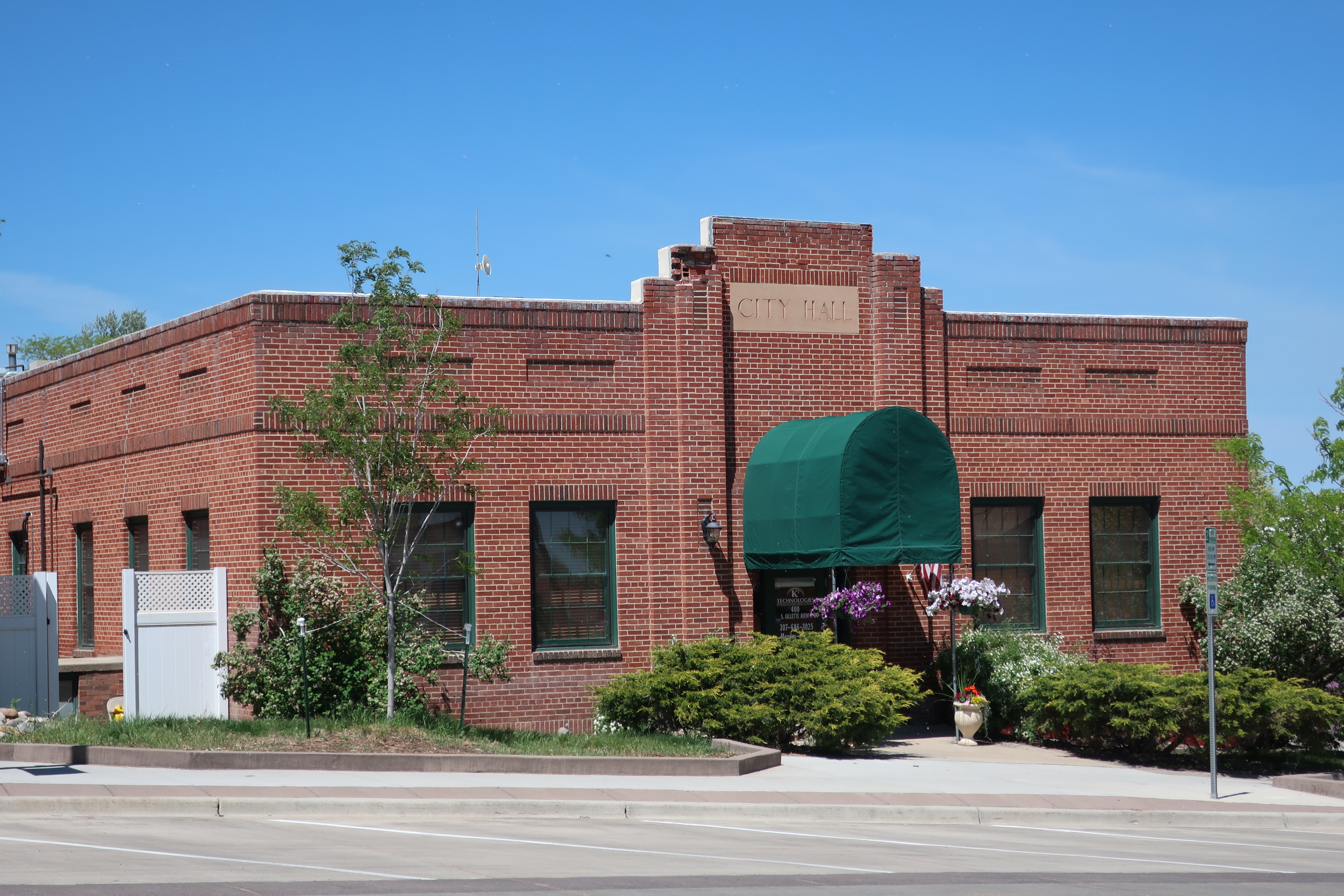
English: Former City Hall now the City Hall Mall at 400 South Gillette Avenue in Gillette, Wyoming.
|
||||||
Date | |||||||
Source | Own work | ||||||
Author | Mr. Satterly | ||||||
Permission (Reusing this file) |
I, the copyright holder of this work, hereby publish it under the following licenses:
You may select the license of your choice. |
Camera location | 44° 17′ 27.35″ N, 105° 30′ 13.93″ W | View this and other nearby images on: OpenStreetMap | 44.290930; -105.503870 |
---|
File history
Click on a date/time to view the file as it appeared at that time.
Date/Time | Thumbnail | Dimensions | User | Comment | |
---|---|---|---|---|---|
current | 22:55, 21 March 2019 | 5,472 × 3,648 (8.44 MB) | Mr. Satterly (talk | contribs) | {{Information |description={{en|1=Former City Hall now the City Hall Mall at 400 South Gillette Avenue in Gillette, Wyoming.}} |source={{own}} |date=2018-05-26 |author=Mr. Satterly |permission={{WTFPL}} |other versions= }} Category:Gillette, Wyoming Category:Brick buildings in Wyoming Category:Former city halls in Wyoming Category:Taken with Canon PowerShot G9 X Mark II |
You cannot overwrite this file.
File usage on Commons
The following 2 pages use this file:
File usage on other wikis
The following other wikis use this file:
- Usage on de.wikipedia.org
- Usage on en.wikipedia.org
- Usage on www.wikidata.org
Metadata
This file contains additional information such as Exif metadata which may have been added by the digital camera, scanner, or software program used to create or digitize it. If the file has been modified from its original state, some details such as the timestamp may not fully reflect those of the original file. The timestamp is only as accurate as the clock in the camera, and it may be completely wrong.
Camera manufacturer | Canon |
---|---|
Camera model | Canon PowerShot G9 X Mark II |
Author | Mr. Satterly |
Copyright holder | Mr. Satterly - WTFPL Version 2 |
Exposure time | 1/1,250 sec (0.0008) |
F-number | f/4.9 |
ISO speed rating | 125 |
Date and time of data generation | 10:44, 26 May 2018 |
Lens focal length | 25.459 mm |
Orientation | Normal |
Horizontal resolution | 180 dpi |
Vertical resolution | 180 dpi |
File change date and time | 10:44, 26 May 2018 |
Y and C positioning | Co-sited |
Exposure Program | Normal program |
Exif version | 2.3 |
Date and time of digitizing | 10:44, 26 May 2018 |
Meaning of each component |
|
Image compression mode | 3 |
APEX shutter speed | 10.28125 |
APEX aperture | 4.59375 |
APEX exposure bias | 0 |
Maximum land aperture | 4.59375 APEX (f/4.91) |
Metering mode | Pattern |
Flash | Flash did not fire, compulsory flash suppression |
DateTime subseconds | 19 |
DateTimeOriginal subseconds | 19 |
DateTimeDigitized subseconds | 19 |
Supported Flashpix version | 1 |
Color space | sRGB |
Focal plane X resolution | 10,584.13926499 |
Focal plane Y resolution | 10,573.913043478 |
Focal plane resolution unit | inches |
Sensing method | One-chip color area sensor |
File source | Digital still camera |
Custom image processing | Normal process |
Exposure mode | Auto exposure |
White balance | Auto white balance |
Digital zoom ratio | 1 |
Scene capture type | Standard |
GPS tag version | 0.0.3.2 |
Rating (out of 5) | 0 |
Structured data
Items portrayed in this file
depicts
26 May 2018
44°17'27.35"N, 105°30'13.93"W
0.0008 second
4.9
25.459 millimetre
125
image/jpeg
e4ff53029a48fcee5088b4dd891eadcd094b574a
8,848,499 byte
3,648 pixel
5,472 pixel
- National Register of Historic Places with known IDs
- National Register of Historic Places missing SDC depicts
- National Register of Historic Places missing SDC location of creation
- CC-Zero
- WTFPL
- Self-published work
- Files with coordinates missing SDC location of creation
- Taken with Canon PowerShot G9 X Mark II
- Pages with maps