File:City Municipality of Kranj location map.png

Original file (6,155 × 6,296 pixels, file size: 11.68 MB, MIME type: image/png)
Captions
Captions
Summary
[edit]
| Description |
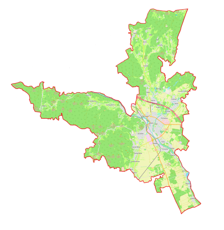
English: Location map |
| Date | |
| Source | Own work |
| Author | Smat |
| Description |
Polski: Mapa gminy miejskiej Kranj, Słowenia
English: Map of City Municipality of Kranj, Slovenia |
|||||||||
| Date | ||||||||||
| Source | You may find a page on the OpenStreetMap wiki page for Gmina miejska Kranj | |||||||||
| Creator |
OpenStreetMap contributors OpenStreetMap contributors |
|||||||||
| Permission (Reusing this file) |
OpenStreetMap data is available under the Open Database License (details). Standard style map tiles are licensed as ODbL Produced Works.
|
|||||||||
| Geotemporal data | ||||||||||
| Bounding box |
|
|||||||||
| Georeferencing | If inappropriate please set warp_status = skip to hide. | |||||||||
Licensing
[edit]
| This work contains information from OpenStreetMap, which is made available under the Open Database License (ODbL).
The ODbL does not require any particular license for maps produced from ODbL data. Prior to 1 August 2020, map tiles produced by the OpenStreetMap Foundation were licensed under the CC-BY-SA-2.0 license. Maps produced by other people may be subject to other licences. |
File history
Click on a date/time to view the file as it appeared at that time.
| Date/Time | Thumbnail | Dimensions | User | Comment | |
|---|---|---|---|---|---|
| current | 12:29, 7 March 2023 | | 6,155 × 6,296 (11.68 MB) | Smat (talk | contribs) | Uploaded own work with UploadWizard |
You cannot overwrite this file.
File usage on Commons
The following 2 pages use this file:
File usage on other wikis
The following other wikis use this file:
- Usage on de.wikipedia.org
- Usage on pl.wikipedia.org
- Kranj
- Bauhenk
- Kranj (stacja kolejowa)
- Stadion Stanka Mlakarja
- Babni Vrt
- Bobovek
- Breg ob Savi
- Britof
- Čadovlje
- Čepulje
- Golnik
- Goriče (gmina Kranj)
- Hrastje (gmina Kranj)
- Ilovka
- Jama (gmina Kranj)
- Jamnik (gmina Kranj)
- Javornik (gmina Kranj)
- Kokrica
- Lavtarski Vrh
- Letenice
- Mavčiče
- Meja (wieś)
- Mlaka pri Kranju
- Nemilje
- Njivica
- Orehovlje (gmina Kranj)
- Pangršica
- Planica (gmina Kranj)
- Podblica
- Podreča
- Povlje
- Praše
- Predoslje
- Pševo
- Rakovica (Słowenia)
- Spodnja Besnica
- Spodnje Bitnje
- Srakovlje
- Srednja vas-Goriče
- Srednje Bitnje
- Suha pri Predosljah
- Šutna (gmina Kranj)
- Sveti Jošt nad Kranjem
- Tatinec
- Tenetiše (gmina Kranj)
- Trstenik (gmina Kranj)
- Žablje
- Zabukovje (gmina Kranj)
- Zalog (gmina Kranj)
View more global usage of this file.