File:Clermont-Ferrand routes map-fr.png
Jump to navigation
Jump to search
Size of this preview: 800 × 587 pixels. Other resolutions: 320 × 235 pixels | 640 × 469 pixels | 1,024 × 751 pixels | 1,280 × 939 pixels | 1,500 × 1,100 pixels.
Original file (1,500 × 1,100 pixels, file size: 527 KB, MIME type: image/png)
Captions
Captions
Add a one-line explanation of what this file represents
| Description |
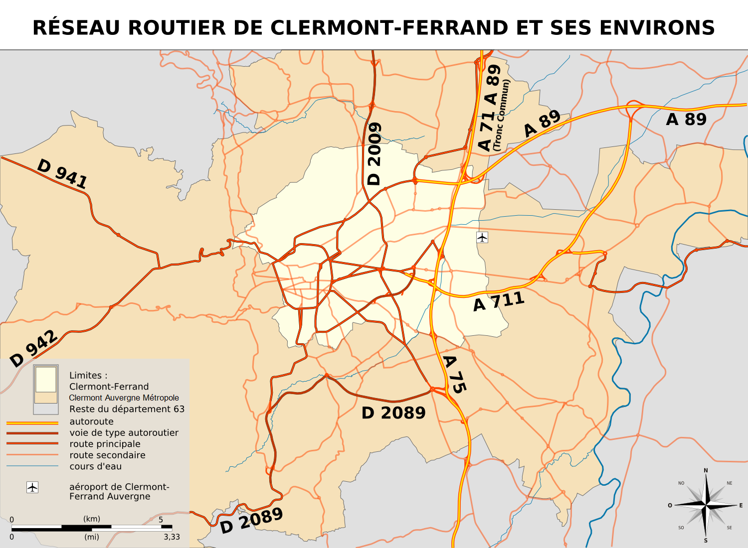
English: Map of road network of Clermont-Ferrand and around
Français : Carte du réseau routier de Clermont-Ferrand et environs |
|||
| Date | ||||
| Source | Derived from OpenStreetMap data | |||
| Author | OpenStreetMap contributors, adapted by tabltrai - talk | |||
| Permission (Reusing this file) |
This file is licensed under the Creative Commons Attribution-Share Alike 2.0 Generic license.
|
|||
| Other versions | (SVG version failed to upload) |
File history
Click on a date/time to view the file as it appeared at that time.
| Date/Time | Thumbnail | Dimensions | User | Comment | |
|---|---|---|---|---|---|
| current | 11:02, 10 September 2017 | | 1,500 × 1,100 (527 KB) | Pierre 21000 (talk | contribs) | Changement Clermont Communauté en Clermont Auvergne Métropole |
| 17:39, 31 January 2015 |  | 1,500 × 1,100 (519 KB) | Tabl-trai (talk | contribs) | {{Information |Description ={{en|1=Map of road network of Clermont-Ferrand and around}} {{fr|1=Carte du réseau routier de Clermont-Ferrand et environs}} |Source =Derived from OpenStreetMap data |Author =OpenStreetMap contributors, a... |
You cannot overwrite this file.
File usage on Commons
There are no pages that use this file.
File usage on other wikis
The following other wikis use this file:
- Usage on fr.wikipedia.org