File:Club-de-Pescadores-LagunadelosPadres.jpg
Jump to navigation
Jump to search

Size of this preview: 800 × 600 pixels. Other resolutions: 320 × 240 pixels | 640 × 480 pixels | 1,024 × 768 pixels | 1,280 × 960 pixels | 2,560 × 1,920 pixels | 3,280 × 2,460 pixels.
Original file (3,280 × 2,460 pixels, file size: 1.24 MB, MIME type: image/jpeg)
Captions
Captions
Add a one-line explanation of what this file represents
Summary
[edit]
| Camera location | | View this and other nearby images on: OpenStreetMap |
|---|
| Description |
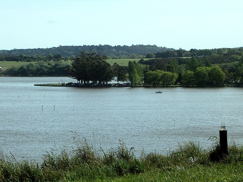
English: Fishing Club island, Laguna de los Padres. The island is connected to land by a causeway. Español: Isla del Club de Pesca, Laguna de los Padres. La isla esta conectada a la orilla por una lengua de tierra. |
| Date | |
| Source | Own work |
| Author | DagosNavy |
Licensing
[edit]
I, the copyright holder of this work, hereby publish it under the following license:
This file is licensed under the Creative Commons Attribution 3.0 Unported license.
- You are free:
- to share – to copy, distribute and transmit the work
- to remix – to adapt the work
- Under the following conditions:
- attribution – You must give appropriate credit, provide a link to the license, and indicate if changes were made. You may do so in any reasonable manner, but not in any way that suggests the licensor endorses you or your use.
File history
Click on a date/time to view the file as it appeared at that time.
| Date/Time | Thumbnail | Dimensions | User | Comment | |
|---|---|---|---|---|---|
| current | 11:55, 18 April 2012 | | 3,280 × 2,460 (1.24 MB) | FarSouthNavy (talk | contribs) | Improved color and contrast |
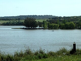
| 21:20, 19 October 2008 |  | 3,280 × 2,460 (1.14 MB) | FarSouthNavy (talk | contribs) | {{Information |Description=Fishermen Club, Laguna de los Padres. |Source=self-made |Date=19 October 2008 |Author= DagosNavy |Permission= |other_versions= }} Category:Mar del Plata |
You cannot overwrite this file.
File usage on Commons
The following page uses this file:
File usage on other wikis
The following other wikis use this file:
- Usage on ceb.wikipedia.org
- Usage on de.wikipedia.org
- Usage on en.wikipedia.org
- Usage on es.wikipedia.org
- Usage on fr.wikipedia.org
- Usage on www.wikidata.org