File:Coal Producing Districts and Fields - States of West Virginia and Maryland - DPLA - cdd3b9d39ff6fc0302913fdd7c8b48bb.jpg
Jump to navigation
Jump to search

Size of this preview: 698 × 600 pixels. Other resolutions: 279 × 240 pixels | 559 × 480 pixels | 894 × 768 pixels | 1,191 × 1,024 pixels | 2,383 × 2,048 pixels | 11,867 × 10,200 pixels.
Original file (11,867 × 10,200 pixels, file size: 10.25 MB, MIME type: image/jpeg)
Captions
Captions
Add a one-line explanation of what this file represents
Summary
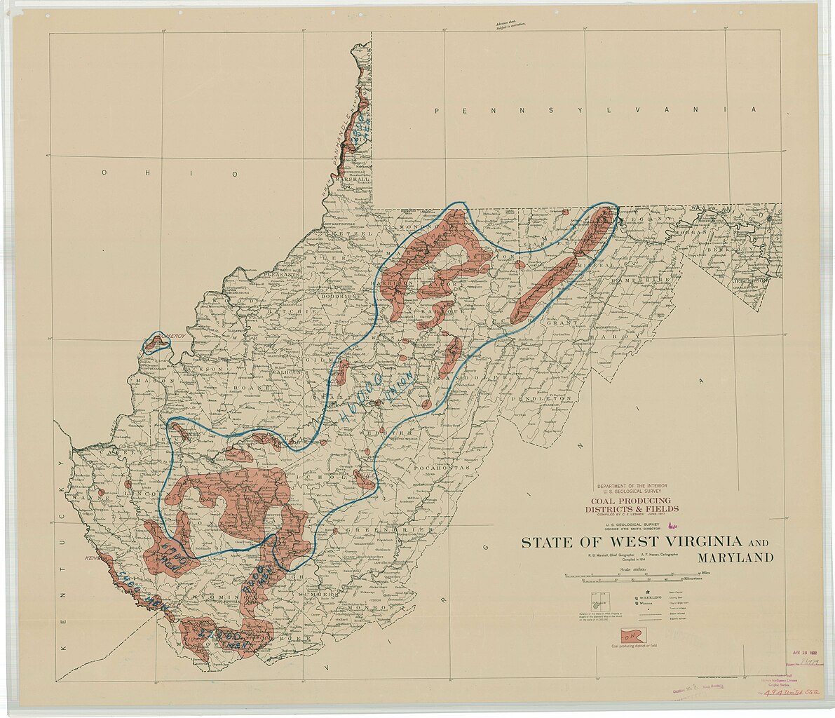
[edit]| Coal Producing Districts and Fields - States of West Virginia and Maryland
( |
||||||||||||||
|---|---|---|---|---|---|---|---|---|---|---|---|---|---|---|
| Creator | War Department. Office of the Chief of Engineers. War Department Map Collection. 1939-1942 | |||||||||||||
| Title |
Coal Producing Districts and Fields - States of West Virginia and Maryland |
|||||||||||||
| Date | 1917 | |||||||||||||
| Collection |
|
|||||||||||||
| Source/Photographer |
|
|||||||||||||
| Permission (Reusing this file) |
|
|||||||||||||
| Standardized rights statement |
|
|||||||||||||


File history
Click on a date/time to view the file as it appeared at that time.
| Date/Time | Thumbnail | Dimensions | User | Comment | |
|---|---|---|---|---|---|
| current | 06:17, 8 March 2023 | | 11,867 × 10,200 (10.25 MB) | DPLA bot (talk | contribs) | Uploading DPLA ID dpla:cdd3b9d39ff6fc0302913fdd7c8b48bb |
You cannot overwrite this file.
File usage on Commons
The following page uses this file: