File:College Street Historic District in Harrodsburg.jpg
Jump to navigation
Jump to search

Size of this preview: 800 × 450 pixels. Other resolutions: 320 × 180 pixels | 640 × 360 pixels | 1,024 × 576 pixels | 1,280 × 720 pixels | 2,816 × 1,584 pixels.
Original file (2,816 × 1,584 pixels, file size: 2.19 MB, MIME type: image/jpeg)
Captions
Captions
Add a one-line explanation of what this file represents
|
This is an image of a place or building that is listed on the National Register of Historic Places in the United States of America. Its reference number is 79001023. |
| Camera location | | View this and other nearby images on: OpenStreetMap |
|---|
| Description |
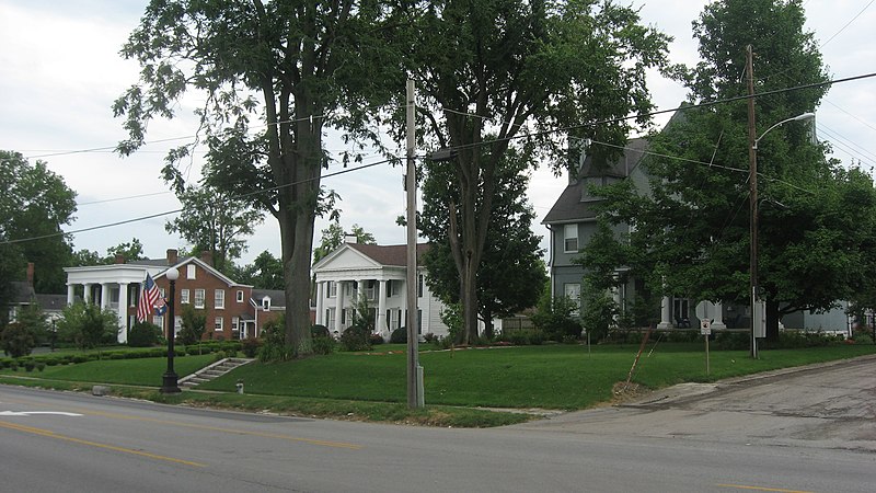
English: Houses on the western side of the 300 block of N. College Street (U.S. Route 127) in Harrodsburg, Kentucky, United States. These houses are part of the College Street Historic District, a historic district that is listed on the National Register of Historic Places. |
||
| Date | Taken on 21 July 2010 | ||
| Source | Own work | ||
| Author | Nyttend | ||
| Permission (Reusing this file) |
|
File history
Click on a date/time to view the file as it appeared at that time.
| Date/Time | Thumbnail | Dimensions | User | Comment | |
|---|---|---|---|---|---|
| current | 02:11, 3 August 2010 | | 2,816 × 1,584 (2.19 MB) | Nyttend (talk | contribs) | {{Location|37|46|0|N|84|50|42|W}} {{Information |Description={{en|Houses on the western side of the 300 block of N. College Street ({{w|U.S. Route 127}}) in {{w|Harrodsburg, Kentucky|Harrodsburg}}, {{w|Kentucky}}, {{w|United States}}. These houses are pa |
You cannot overwrite this file.
File usage on Commons
There are no pages that use this file.
File usage on other wikis
The following other wikis use this file:
- Usage on ceb.wikipedia.org
- Usage on en.wikipedia.org
- Usage on www.wikidata.org