File:Colli Verdi (PV) - frazione Valverde - chiesa di Santo Stefano.jpg
Jump to navigation
Jump to search
Size of this preview: 800 × 600 pixels. Other resolutions: 320 × 240 pixels | 640 × 480 pixels | 1,024 × 768 pixels | 1,280 × 960 pixels | 2,000 × 1,500 pixels.
Original file (2,000 × 1,500 pixels, file size: 1.44 MB, MIME type: image/jpeg)
Captions
Captions
Add a one-line explanation of what this file represents
Summary
[edit]_-_frazione_Valverde_-_chiesa_di_Santo_Stefano.jpg&action=edit§ion=1)
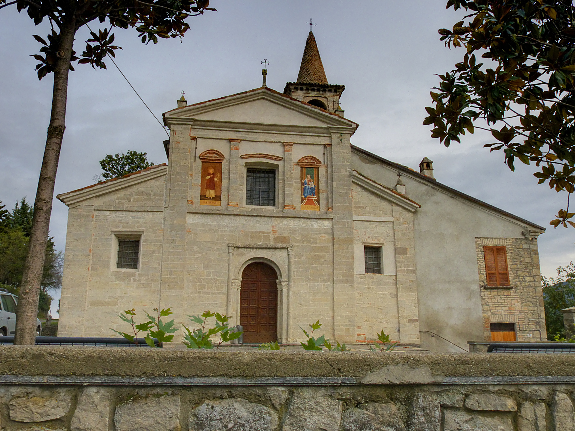
| Description | Facciata della chiesa di Valverde | ||
| Date | 18 October 2010 (original upload date) | ||
| Source | https://web.archive.org/web/20161017221427/http://www.panoramio.com/photo/42405839 | ||
| Author | Terensky | ||
| Permission (Reusing this file) |
This file is licensed under the Creative Commons Attribution 3.0 Unported license. Attribution: Terensky
|
||
| Tags (from Panoramio photo page) | Mombelli, edifici religiosi, Oltrepo Pavese, Valverde |
| Camera location | | View this and other nearby images on: OpenStreetMap |
|---|
_-_frazione_Valverde_-_chiesa_di_Santo_Stefano.jpg¶ms=044.871898_N_0009.237507_E_globe:Earth_type:camera_source:Panoramio_&language=en)
File history
Click on a date/time to view the file as it appeared at that time.
| Date/Time | Thumbnail | Dimensions | User | Comment | |
|---|---|---|---|---|---|
| current | 23:48, 14 November 2016 | | 2,000 × 1,500 (1.44 MB) | Panoramio upload bot (talk | contribs) | == {{int:filedesc}} == {{Information |description=Facciata della chiesa di Valverde |date={{Original upload date|2010-10-18}} |source=http://www.panoramio.com/photo/42405839 |author=[http://www.panoramio.com/user/4616731?with_photo_id=42405839 Terensky... |
You cannot overwrite this file.
File usage on Commons
The following page uses this file:
- File:Facciata della chiesa di Valverde - panoramio.jpg (file redirect)
File usage on other wikis
The following other wikis use this file:
- Usage on de.wikipedia.org
- Usage on en.wikipedia.org
- Usage on fr.wikipedia.org
- Usage on it.wikipedia.org
- Usage on nl.wikipedia.org
- Usage on sv.wikipedia.org
- Usage on tl.wikipedia.org
- Usage on uk.wikipedia.org
- Usage on zh.wikipedia.org
_-_frazione_Valverde_-_chiesa_di_Santo_Stefano.jpg&oldid=864964787)