File:Colorado Midland Railway map.jpg
Jump to navigation
Jump to search

Size of this preview: 735 × 599 pixels. Other resolutions: 294 × 240 pixels | 589 × 480 pixels | 942 × 768 pixels | 1,122 × 915 pixels.
Original file (1,122 × 915 pixels, file size: 357 KB, MIME type: image/jpeg)
Captions
Captions
Add a one-line explanation of what this file represents
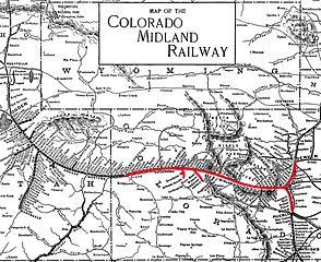
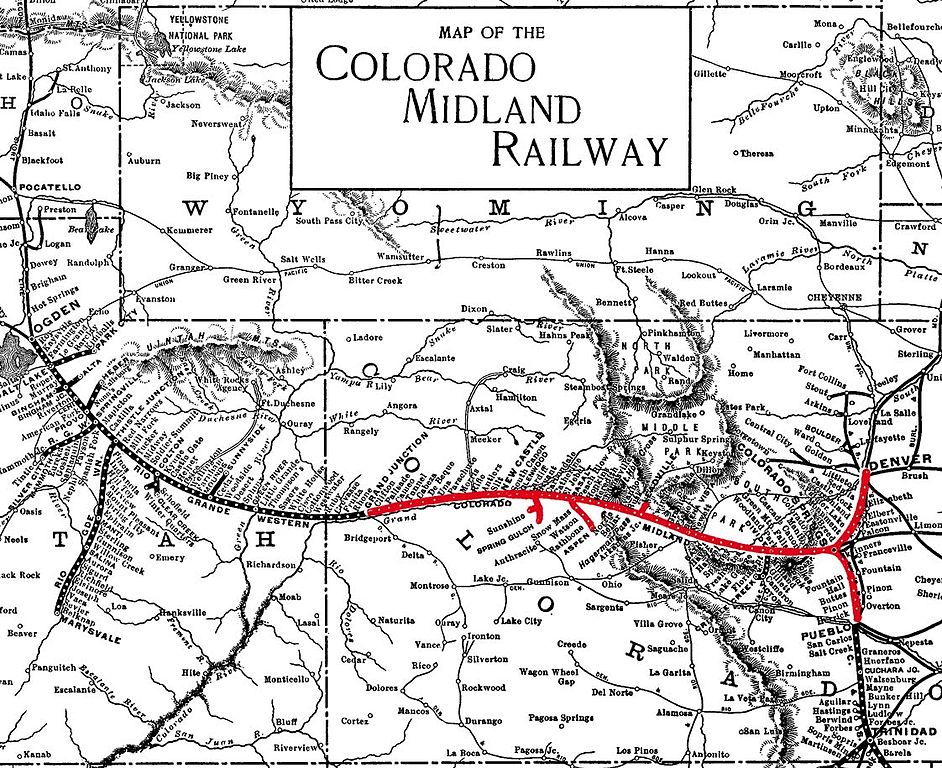
| Description | ca. 1900 map of the Colorado Midland Railway, unfortunately cropped at the edges |
| Date | circa 1900 |
| Source | [1] |
| Author | Unknown author |
This work is in the public domain in the United States because it was published (or registered with the U.S. Copyright Office) before January 1, 1929.
Public domain works must be out of copyright in both the United States and in the source country of the work in order to be hosted on the Commons. If the work is not a U.S. work, the file must have an additional copyright tag indicating the copyright status in the source country.
Note: This tag should not be used for sound recordings. |
File history
Click on a date/time to view the file as it appeared at that time.
| Date/Time | Thumbnail | Dimensions | User | Comment | |
|---|---|---|---|---|---|
| current | 05:32, 6 August 2008 | | 1,122 × 915 (357 KB) | NE2 (talk | contribs) | {{Information |Description=ca. 1900 map of the Colorado Midland Railway, unfortunately cropped at the edges |Source=[http://www5f.biglobe.ne.jp/~travel-100years/travelguide_254.htm] |Date=Published ca. 1900, given the names of railroads and what lines exi |
You cannot overwrite this file.
File usage on Commons
The following page uses this file:
File usage on other wikis
The following other wikis use this file:
- Usage on en.wikipedia.org
- Usage on fr.wikipedia.org
- Usage on www.wikidata.org