File:Copter Peak.jpg
Jump to navigation
Jump to search

Size of this preview: 800 × 408 pixels. Other resolutions: 320 × 163 pixels | 640 × 326 pixels | 1,024 × 522 pixels | 1,280 × 652 pixels | 2,280 × 1,162 pixels.
Original file (2,280 × 1,162 pixels, file size: 1.52 MB, MIME type: image/jpeg)
Captions
Captions
Add a one-line explanation of what this file represents
Summary[edit]
| Description |
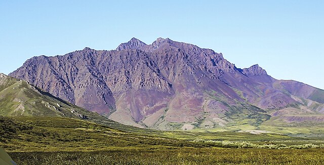
English: Southwest aspect of Copter Peak in the Brooks Range of Alaska.
NPS Photo\Emily Mesner |
| Date | |
| Source | https://www.flickr.com/photos/nps_wear/31293125430/ |
| Author | Western Arctic National Parklands |
| Camera location | | View this and other nearby images on: OpenStreetMap |
|---|
Licensing[edit]
| This image was originally posted to Flickr by Western Arctic National Parklands at https://flickr.com/photos/41585865@N06/31293125430. It was reviewed on 21 November 2023 by FlickreviewR 2 and was confirmed to be licensed under the terms of the Public Domain Mark. |
| This image or media file contains material based on a work of a National Park Service employee, created as part of that person's official duties. As a work of the U.S. federal government, such work is in the public domain in the United States. See the NPS website and NPS copyright policy for more information. |
File history
Click on a date/time to view the file as it appeared at that time.
| Date/Time | Thumbnail | Dimensions | User | Comment | |
|---|---|---|---|---|---|
| current | 05:18, 21 November 2023 | | 2,280 × 1,162 (1.52 MB) | Ron Clausen (talk | contribs) | crop, exposure |
| 05:04, 21 November 2023 |  | 5,225 × 3,436 (17.67 MB) | Ron Clausen (talk | contribs) | Uploaded a work by Western Arctic National Parklands from https://www.flickr.com/photos/nps_wear/31293125430/ with UploadWizard |
You cannot overwrite this file.
File usage on Commons
There are no pages that use this file.
File usage on other wikis
The following other wikis use this file:
- Usage on ceb.wikipedia.org
- Usage on en.wikipedia.org
- Usage on www.wikidata.org