File:Cordillera de Aguas Negras y cordillera de Conconta-risopatron-mapas-MC0073683-1-24.png
Jump to navigation
Jump to search

Size of this preview: 800 × 330 pixels. Other resolutions: 320 × 132 pixels | 640 × 264 pixels | 1,167 × 481 pixels.
Original file (1,167 × 481 pixels, file size: 1.44 MB, MIME type: image/png)
Captions
Captions
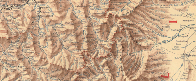
Cordillera de Aguas Negras y cordillera de Conconta
Summary
[edit]
| Description |
English: Cordillera de Aguas Negras y cordillera de Conconta, al este de Ovalle, Chile. |
| Date | |
| Source | Risopatron-mapas-MC0073683-arica-temuco 01.pdf |
| Author | Boloña , Ossandon y Risopatrón |
Licensing
[edit]
|
This work is in the public domain in its country of origin and other countries and areas where the copyright term is the author's life plus 70 years or fewer. This work is in the public domain in the United States because it was published (or registered with the U.S. Copyright Office) before January 1, 1929. | |
| This file has been identified as being free of known restrictions under copyright law, including all related and neighboring rights. | |
File history
Click on a date/time to view the file as it appeared at that time.
| Date/Time | Thumbnail | Dimensions | User | Comment | |
|---|---|---|---|---|---|
| current | 14:36, 5 April 2020 | 1,167 × 481 (1.44 MB) | Juan Villalobos (talk | contribs) | Uploaded a work by Boloña , Ossandon y Risopatrón from Risopatron-mapas-MC0073683-arica-temuco 01.pdf with UploadWizard |
You cannot overwrite this file.
File usage on Commons
The following page uses this file:
File usage on other wikis
The following other wikis use this file:
- Usage on ceb.wikipedia.org
- Usage on es.wikipedia.org
- Usage on www.wikidata.org