File:County Tipperary Style D.svg
Jump to navigation
Jump to search

Size of this PNG preview of this SVG file: 481 × 599 pixels. Other resolutions: 192 × 240 pixels | 385 × 480 pixels | 616 × 768 pixels | 822 × 1,024 pixels | 1,643 × 2,048 pixels | 1,450 × 1,807 pixels.
Original file (SVG file, nominally 1,450 × 1,807 pixels, file size: 669 KB)
Captions
Captions
Add a one-line explanation of what this file represents
Summary
[edit]
| Description |
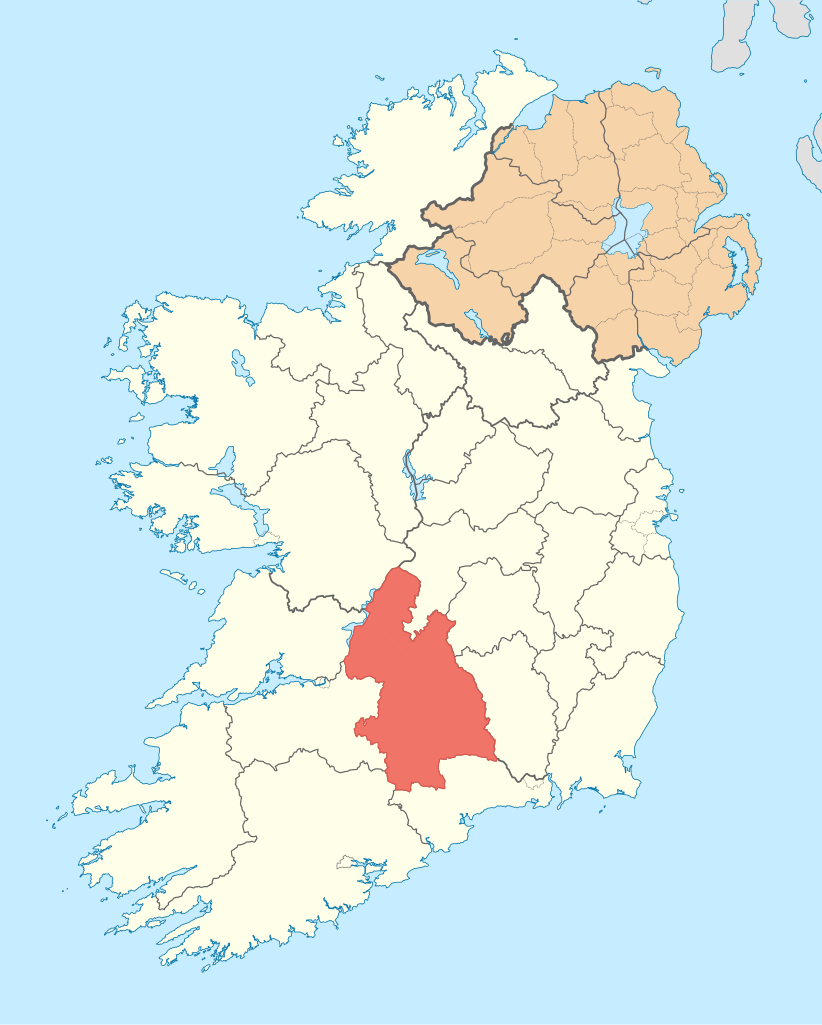
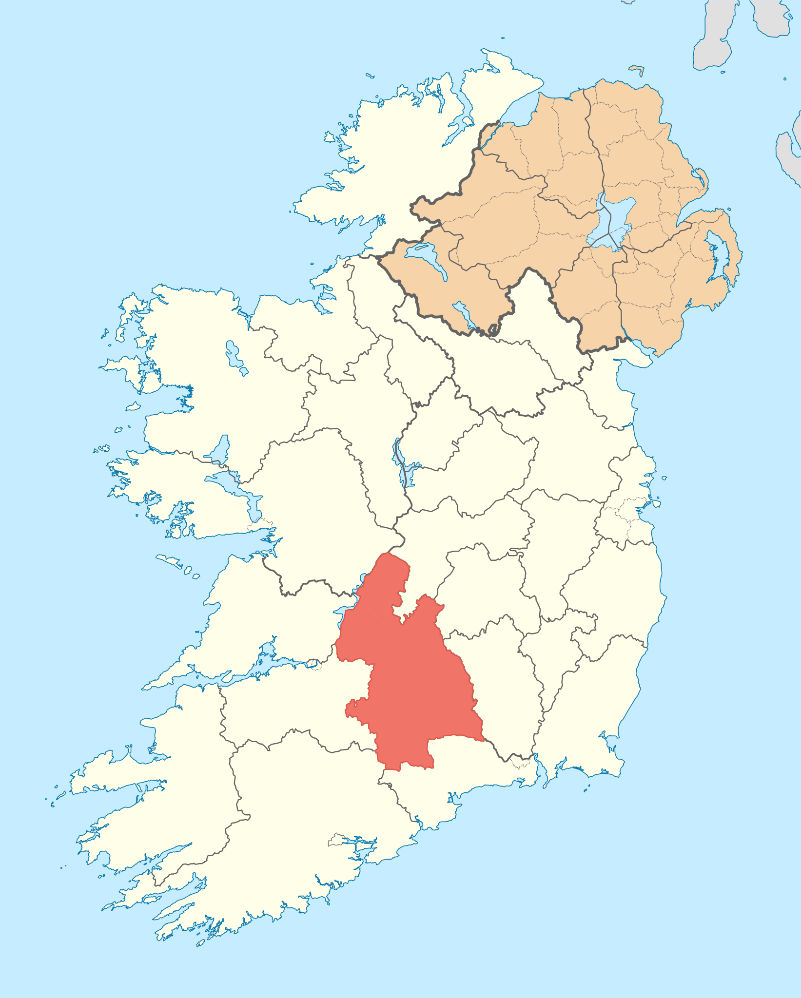
English: Sample map of an Irish county for discussion. |
| Date | (UTC) |
| Source | File:Island_of_Ireland_location_map.svg |
| Author | User:NordNordWest, commons:User:Maximilian Dörrbecker |
Licensing
[edit]
This file is licensed under the Creative Commons Attribution-Share Alike 3.0 Unported license.
- You are free:
- to share – to copy, distribute and transmit the work
- to remix – to adapt the work
- Under the following conditions:
- attribution – You must give appropriate credit, provide a link to the license, and indicate if changes were made. You may do so in any reasonable manner, but not in any way that suggests the licensor endorses you or your use.
- share alike – If you remix, transform, or build upon the material, you must distribute your contributions under the same or compatible license as the original.
Original upload log
[edit]
Transferred from en.wikipedia to Commons by Katarighe using CommonsHelper.
The original description page was here. All following user names refer to en.wikipedia.
- 2010-07-09 21:37 Rannpháirtí anaithnid 1450×1807× (685370 bytes) {{Information |Description = Sample map of an Irish county for discussion. |Source = [[:File:Island_of_Ireland_location_map.svg]] |Date = 21:26, 9 July 2010 (UTC) |Author = [[User:NordNordWest]], [[commons:Us
File history
Click on a date/time to view the file as it appeared at that time.
| Date/Time | Thumbnail | Dimensions | User | Comment | |
|---|---|---|---|---|---|
| current | 18:45, 1 January 2012 | | 1,450 × 1,807 (669 KB) | File Upload Bot (Magnus Manske) (talk | contribs) | {{BotMoveToCommons|en.wikipedia|year={{subst:CURRENTYEAR}}|month={{subst:CURRENTMONTHNAME}}|day={{subst:CURRENTDAY}}}} {{Information |Description={{en|Sample map of an Irish county for discussion.}} |Source=Transferred from [http://en.wikipedia.org en.wi |
You cannot overwrite this file.
File usage on Commons
There are no pages that use this file.
File usage on other wikis
The following other wikis use this file:
- Usage on en.wikipedia.org