File:Crop of Aerial view of Fisherman Shoal during high lake level conditions, Door County, Wisconsin 2020.png
Jump to navigation
Jump to search
Size of this preview: 437 × 599 pixels. Other resolutions: 175 × 240 pixels | 350 × 480 pixels | 560 × 768 pixels | 747 × 1,024 pixels | 1,711 × 2,344 pixels.
Original file (1,711 × 2,344 pixels, file size: 8.66 MB, MIME type: image/png)
Captions
Captions
Add a one-line explanation of what this file represents
| Description |
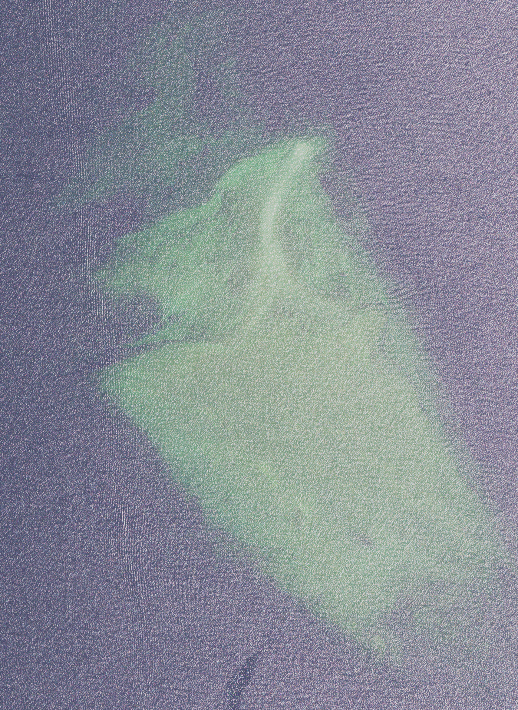
English: Aerial view of Fisherman Shoal southwest of Fish Island in the town of Washington Island, Door County, Wisconsin, Wisconsin, taken July 28, 2020. Lake levels were high at the time of the photo, flooding the shoal. |
|||
| Date | ||||
| Source | converted to .png by Epiphyllumlover from the original .tif available as item M_4508642_NE_16_060_20200728 on EarthExplorer | |||
| Author | Aerial Photography Field Office (APFO) for NAIP, USGS; in contract with the Surdex Corporation | |||
| Permission (Reusing this file) |
|
|||
| Other versions |

File history
Click on a date/time to view the file as it appeared at that time.
| Date/Time | Thumbnail | Dimensions | User | Comment | |
|---|---|---|---|---|---|
| current | 17:56, 20 April 2022 | | 1,711 × 2,344 (8.66 MB) | Epiphyllumlover (talk | contribs) | File:Aerial view of Fisherman Shoal during high lake level conditions, Door County, Wisconsin 2020.png cropped 81 % horizontally, 81 % vertically using CropTool with lossless mode. |
You cannot overwrite this file.
File usage on Commons
The following page uses this file:
File usage on other wikis
The following other wikis use this file:
- Usage on en.wikipedia.org