File:Croydon Wards 1978-2002.svg
Jump to navigation
Jump to search

Size of this PNG preview of this SVG file: 450 × 600 pixels. Other resolutions: 180 × 240 pixels | 360 × 480 pixels | 576 × 768 pixels | 768 × 1,024 pixels | 1,537 × 2,048 pixels | 950 × 1,266 pixels.
Original file (SVG file, nominally 950 × 1,266 pixels, file size: 492 KB)
Captions
Captions
Add a one-line explanation of what this file represents
Summary[edit]
| Description |
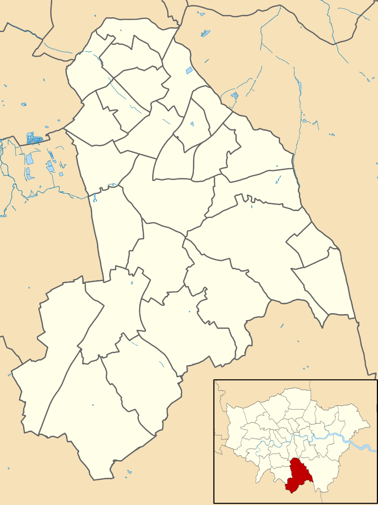
English: Map showing the wards of Croydon from 1978-2002, with inset of London Boroughs |
| Date | |
| Source | UK Data Service, Census Support, with water data from OS Vector Map |
| Author | Trimfrim20, inset of London Boroughs by Nilfanion |
Licensing[edit]
This file is licensed under the Creative Commons Attribution-Share Alike 4.0 International license.
- You are free:
- to share – to copy, distribute and transmit the work
- to remix – to adapt the work
- Under the following conditions:
- attribution – You must give appropriate credit, provide a link to the license, and indicate if changes were made. You may do so in any reasonable manner, but not in any way that suggests the licensor endorses you or your use.
- share alike – If you remix, transform, or build upon the material, you must distribute your contributions under the same or compatible license as the original.
File history
Click on a date/time to view the file as it appeared at that time.
| Date/Time | Thumbnail | Dimensions | User | Comment | |
|---|---|---|---|---|---|
| current | 16:58, 4 October 2020 | | 950 × 1,266 (492 KB) | Trimfrim20 (talk | contribs) | Made inset larger |
| 16:56, 4 October 2020 |  | 950 × 1,266 (492 KB) | Trimfrim20 (talk | contribs) | Fixed image size | |
| 16:50, 4 October 2020 |  | 304 × 405 (492 KB) | Trimfrim20 (talk | contribs) | Uploaded a work by Trimfrim20, inset of London Boroughs by Nilfanion from UK Data Service, Census Support, with water data from OS Vector Map with UploadWizard |
You cannot overwrite this file.
File usage on Commons
The following 6 pages use this file:
- File:Croydon London UK local election 1978 map.svg
- File:Croydon London UK local election 1982 map.svg
- File:Croydon London UK local election 1986 map.svg
- File:Croydon London UK local election 1990 map.svg
- File:Croydon London UK local election 1994 map.svg
- File:Croydon London UK local election 1998 map.svg