File:Cuenca-0571-0572-0573-B.svg
Jump to navigation
Jump to search

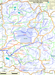
Size of this PNG preview of this SVG file: 446 × 600 pixels. Other resolutions: 178 × 240 pixels | 357 × 480 pixels | 571 × 768 pixels | 761 × 1,024 pixels | 1,523 × 2,048 pixels | 1,076 × 1,447 pixels.
Original file (SVG file, nominally 1,076 × 1,447 pixels, file size: 4.43 MB)
Captions
Captions
Add a one-line explanation of what this file represents
Summary[edit]
| Description |
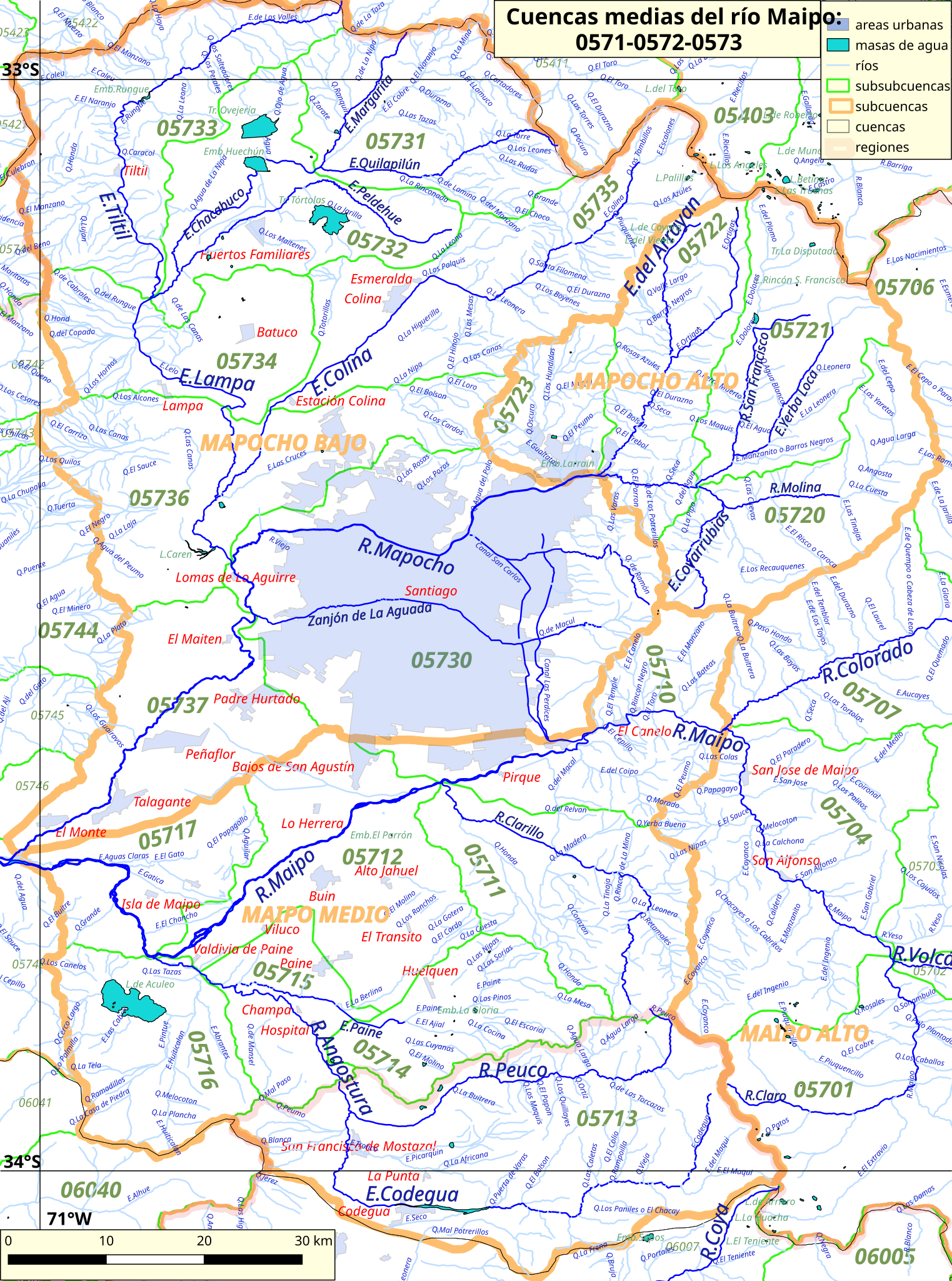
Español: Cuenca Alta del río Maipo, 0570 del inventario nacional de cuencas de Chile.
Este mapa se elaboró con información extraída de:
Donde BNC, MMA y cedeus significan:
Los datos fueron procesados con QGIS version 3.4, exportados al formato SVG con las opciones "render map labels as outlines" desconectada pero "export map layers as svg groups" conectada. Con Inkscape 0.92 se eliminó la excesiva repetición de nombres, los nombres fueron colocados paralelos a los ríos o lagos y en lugares más visibles. Nombres y números que el editor no pudo asociar a objeto alguno fueron borrados. |
| Date | |
| Source | Own work |
| Author | Juan Villalobos |
Licensing[edit]
I, the copyright holder of this work, hereby publish it under the following license:
This file is licensed under the Creative Commons Attribution-Share Alike 4.0 International license.
- You are free:
- to share – to copy, distribute and transmit the work
- to remix – to adapt the work
- Under the following conditions:
- attribution – You must give appropriate credit, provide a link to the license, and indicate if changes were made. You may do so in any reasonable manner, but not in any way that suggests the licensor endorses you or your use.
- share alike – If you remix, transform, or build upon the material, you must distribute your contributions under the same or compatible license as the original.
File history
Click on a date/time to view the file as it appeared at that time.
| Date/Time | Thumbnail | Dimensions | User | Comment | |
|---|---|---|---|---|---|
| current | 11:57, 9 October 2019 | | 1,076 × 1,447 (4.43 MB) | Juan Villalobos (talk | contribs) | User created page with UploadWizard |
You cannot overwrite this file.
File usage on Commons
There are no pages that use this file.
File usage on other wikis
The following other wikis use this file:
- Usage on es.wikipedia.org
- Estero Yerba Loca
- Laguna de Aculeo
- Quebrada de Ramón
- Río Clarillo (Maipo)
- Estero El Manzano
- Río Colina
- Laguna Carén
- Humedal de Batuco
- Estero Lampa
- Embalse Huechún (Tiltil)
- Estero Chacabuco
- Río Molina
- Estero Arrayán
- Río San Francisco (Mapocho)
- Embalse Rungue
- Estero Tiltil
- Río Angostura
- Estero Codegua
- Estero Paine
- Santuario de la naturaleza El Ajial
- Santuario de la naturaleza Torcazas de Pirque
- Río Peuco (Angostura)