File:Dětřichov u Frýdlantu, úzkorozchodné kolejiště (2).JPG
Jump to navigation
Jump to search

Size of this preview: 800 × 451 pixels. Other resolutions: 320 × 180 pixels | 640 × 361 pixels | 1,024 × 577 pixels | 1,280 × 721 pixels | 2,560 × 1,443 pixels | 3,648 × 2,056 pixels.
Original file (3,648 × 2,056 pixels, file size: 2.71 MB, MIME type: image/jpeg)
Captions
Captions
Add a one-line explanation of what this file represents
Summary
[edit].JPG&action=edit§ion=1)
| Description |
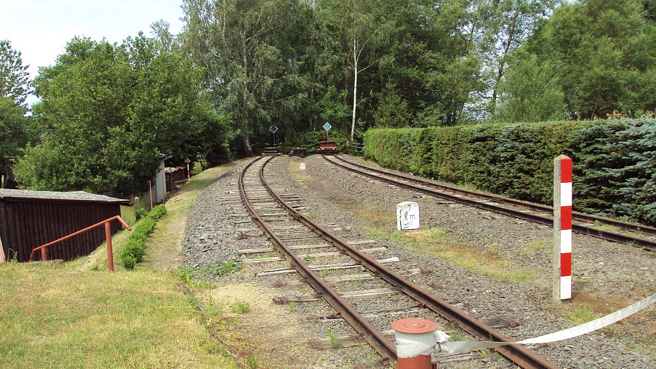
Čeština: Kolejiště na zrušené úzkorozchodné trati Frýdlant v Čechách - Heřmanice na vjezdu do úvraťové stanice v Dětřichově. Pozemek pod kolejemi patří soukromému vlastníkovi (katastrální území Dětřichov u Frýdlantu, číslo parcely 1877/4) |
| Date | |
| Source | User:Mirek256 |
| Author | User:Mirek256 |
| Camera location | | View this and other nearby images on: OpenStreetMap |
|---|
.JPG¶ms=050.895073_N_0015.037130_E_globe:Earth_type:camera__&language=en)
Licensing
[edit].JPG&action=edit§ion=2)
This file is licensed under the Creative Commons Attribution-Share Alike 3.0 Unported license.
- You are free:
- to share – to copy, distribute and transmit the work
- to remix – to adapt the work
- Under the following conditions:
- attribution – You must give appropriate credit, provide a link to the license, and indicate if changes were made. You may do so in any reasonable manner, but not in any way that suggests the licensor endorses you or your use.
- share alike – If you remix, transform, or build upon the material, you must distribute your contributions under the same or compatible license as the original.
File history
Click on a date/time to view the file as it appeared at that time.
| Date/Time | Thumbnail | Dimensions | User | Comment | |
|---|---|---|---|---|---|
| current | 13:43, 21 April 2013 | | 3,648 × 2,056 (2.71 MB) | Jan Polák (talk | contribs) | User created page with UploadWizard |
You cannot overwrite this file.
File usage on Commons
The following page uses this file:
File usage on other wikis
The following other wikis use this file:
- Usage on cs.wikipedia.org
- Usage on de.wikipedia.org
.JPG&oldid=472689847)