File:DE HG Biemerberg 20200328 Bonvol.jpg
Jump to navigation
Jump to search

Size of this preview: 800 × 450 pixels. Other resolutions: 320 × 180 pixels | 640 × 360 pixels | 1,024 × 576 pixels | 1,280 × 720 pixels | 2,560 × 1,440 pixels | 5,504 × 3,096 pixels.
Original file (5,504 × 3,096 pixels, file size: 5.06 MB, MIME type: image/jpeg)
Captions
Captions
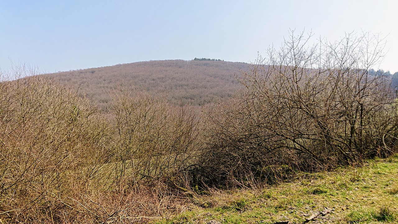
Biemergberg (582 m) in Taunus range (Germany, Hessen)
Summary[edit]
| Description |
English: Biemerberg (582 m) in Taunus range (Germany, Hessen) as seen from the other side of Aubach |
| Date | |
| Source | Own work |
| Author | Bonvol |
| Camera location | | View this and other nearby images on: OpenStreetMap |
|---|
|
Polski: Autorem zdjęcia jest użytkownik Bonvol (Leszek Dobrowolski) i jest udostępniane na licencji CC-BY-3.0. Zdjęcie może być bezpłatnie wykorzystywane poza projektami Wikimedia pod warunkiem zachowania warunków licencji, do których należy m.in. podpisanie go w sposób pokazany poniżej. Ucieszę się z informacji o wykorzystaniu zdjęcia na mojej stronie dyskusji English: This photo was taken by user Bonvol (Leszek Dobrowolski) and it is released under CC-BY-3.0 license. You may use it free of charge outside Wikimedia projects if you credit me as the author as you can see below (you can substitute the word 'licence' with the equivalent in the language used in the publication) and follow other licence conditions. Also it would be nice if you let me know about it on my discussion page Leszek Dobrowolski / Wikipedia, licencja: CC-BY-3.0 |
Licensing[edit]
I, the copyright holder of this work, hereby publish it under the following license:
This file is licensed under the Creative Commons Attribution 3.0 Unported license.
- You are free:
- to share – to copy, distribute and transmit the work
- to remix – to adapt the work
- Under the following conditions:
- attribution – You must give appropriate credit, provide a link to the license, and indicate if changes were made. You may do so in any reasonable manner, but not in any way that suggests the licensor endorses you or your use.
File history
Click on a date/time to view the file as it appeared at that time.
| Date/Time | Thumbnail | Dimensions | User | Comment | |
|---|---|---|---|---|---|
| current | 18:58, 2 April 2020 | | 5,504 × 3,096 (5.06 MB) | Bonvol (talk | contribs) | Uploaded own work with UploadWizard |
You cannot overwrite this file.
File usage on Commons
There are no pages that use this file.
File usage on other wikis
The following other wikis use this file:
- Usage on de.wikipedia.org
- Usage on en.wikipedia.org