File:Damavand-Guillaume Delisle-map.jpg
Jump to navigation
Jump to search
Size of this preview: 800 × 359 pixels. Other resolutions: 320 × 144 pixels | 640 × 287 pixels | 1,227 × 551 pixels.
Original file (1,227 × 551 pixels, file size: 298 KB, MIME type: image/jpeg)
Captions
Captions
Add a one-line explanation of what this file represents
Summary
[edit]| Description |
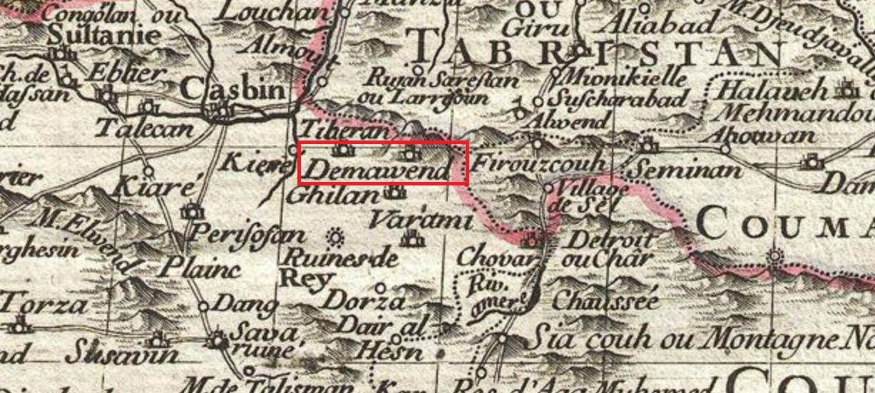
فارسی: نقشه زمان اواخر صفوی
که دماوند نشان داده شده است |
|||||||||||||||||||||||
| Date | ||||||||||||||||||||||||
| Source | De L'Isle, G., Atlas de Geographie, c. 1730. | |||||||||||||||||||||||
| Author |
|
|||||||||||||||||||||||
_-_Geographicus_-_Persia-delisle-1724.jpg)

Licensing
[edit]
|
This work is in the public domain in its country of origin and other countries and areas where the copyright term is the author's life plus 70 years or fewer. This work is in the public domain in the United States because it was published (or registered with the U.S. Copyright Office) before January 1, 1929. | |
| This file has been identified as being free of known restrictions under copyright law, including all related and neighboring rights. | |
File history
Click on a date/time to view the file as it appeared at that time.
| Date/Time | Thumbnail | Dimensions | User | Comment | |
|---|---|---|---|---|---|
| current | 12:29, 13 May 2017 | | 1,227 × 551 (298 KB) | Mohamadr za (talk | contribs) | User created page with UploadWizard |
You cannot overwrite this file.
File usage on Commons
There are no pages that use this file.