File:Dampierre-en-Bresse Gemeindeschema.png
Jump to navigation
Jump to search

Size of this preview: 699 × 599 pixels. Other resolutions: 280 × 240 pixels | 560 × 480 pixels | 799 × 685 pixels.
Original file (799 × 685 pixels, file size: 114 KB, MIME type: image/png)
Captions
Captions
Add a one-line explanation of what this file represents
| Description |
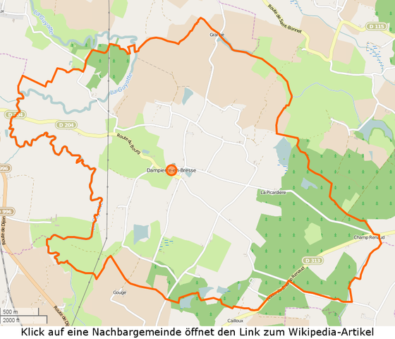
Karte der Gemeinde Dampierre-en-Bresse - INSEE-Code 71168 This map was created from OpenStreetMap project data, collected by the community. This map may be incomplete, and may contain errors. Don't rely solely on it for navigation.Carte de la commune de Dampierre-en-Bresse - Code INSEE 71168 |
|||
| Date | (see file history) | |||
| Source | openstreetmap.org | |||
| Creator |
OpenStreetMap contributors |
|||
| Permission (Reusing this file) |
OpenStreetMap data is available under the Open Database License (details). Standard style map tiles are licensed as ODbL Produced Works.
|
|||
| Georeferencing | If inappropriate please set warp_status = skip to hide. |
File history
Click on a date/time to view the file as it appeared at that time.
| Date/Time | Thumbnail | Dimensions | User | Comment | |
|---|---|---|---|---|---|
| current | 23:38, 21 June 2015 | | 799 × 685 (114 KB) | Cmdrjameson (talk | contribs) | Compressed with pngout. Reduced by 92kB (44% decrease). |
| 18:06, 26 April 2015 |  | 799 × 685 (206 KB) | H.p.frei (talk | contribs) | User created page with UploadWizard |
You cannot overwrite this file.
File usage on Commons
The following 2 pages use this file:
File usage on other wikis
The following other wikis use this file:
- Usage on de.wikipedia.org