File:Dead Sea 21.jpg
Jump to navigation
Jump to search
No higher resolution available.
Dead_Sea_21.jpg (600 × 600 pixels, file size: 34 KB, MIME type: image/jpeg)
Captions
Captions
Add a one-line explanation of what this file represents
Summary[edit]
| Description |
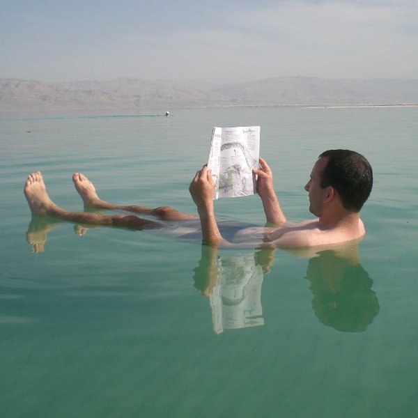
English: The Dead Sea has attracted visitors from around the Mediterranean basin for thousands of years. Biblically, it was a place of refuge for King David. It was one of the world's first health resorts (for Herod the Great), and it has been the supplier of a wide variety of products, from balms for Egyptian mummification to potash for fertilizers. People also use the salt and the minerals from the Dead Sea to create cosmetics and herbal sachets. العربية: البحر الميت هو بحيرة ملحية مغلقة تقع في أخدود وادي الأردن ضمن الشق السوري الأفريقي، على خط الحدود الفاصل بين الأردن وفلسطين التاريخية (الضفة الغربية وإسرائيل). يشتهر البحر الميت بكونه أخفض نقطة على سطح الكرة الأرضية، حيث بلغ منسوب شاطئه حوالي 400 متر تحت مستوى سطح البحر حسب سجلات عام 2013.[
|
||
| Date | |||
| Source | https://www.flickr.com/photos/babeltravel/3046421387/ | ||
| Author | babeltravel |
| Camera location | | View this and other nearby images on: OpenStreetMap |
|---|
Arabic Wikipedia Community project
Licensing[edit]
| This image was originally posted to Flickr. Its license was verified as "cc-by-2.0" by the UploadWizard Extension at the time it was transferred to Commons. See the license information for further details. |
This file is licensed under the Creative Commons Attribution 2.0 Generic license.
- You are free:
- to share – to copy, distribute and transmit the work
- to remix – to adapt the work
- Under the following conditions:
- attribution – You must give appropriate credit, provide a link to the license, and indicate if changes were made. You may do so in any reasonable manner, but not in any way that suggests the licensor endorses you or your use.

|
This image was uploaded as part of Wiki Loves Monuments 2014.
|
 |
File history
Click on a date/time to view the file as it appeared at that time.
| Date/Time | Thumbnail | Dimensions | User | Comment | |
|---|---|---|---|---|---|
| current | 23:17, 23 September 2014 | | 600 × 600 (34 KB) | Tarawneh (talk | contribs) | User created page with UploadWizard |
You cannot overwrite this file.
File usage on Commons
There are no pages that use this file.
File usage on other wikis
The following other wikis use this file:
- Usage on en.wikipedia.org
- Usage on fr.wikipedia.org
- Usage on ru.wikipedia.org