File:Deception Falls (18324788519).jpg
Jump to navigation
Jump to search
Size of this preview: 675 × 600 pixels. Other resolutions: 270 × 240 pixels | 540 × 480 pixels | 864 × 768 pixels | 1,152 × 1,024 pixels | 2,304 × 2,048 pixels | 3,031 × 2,694 pixels.
Original file (3,031 × 2,694 pixels, file size: 4.74 MB, MIME type: image/jpeg)
Captions
Captions
Add a one-line explanation of what this file represents
Summary[edit]
.jpg&action=edit§ion=1)
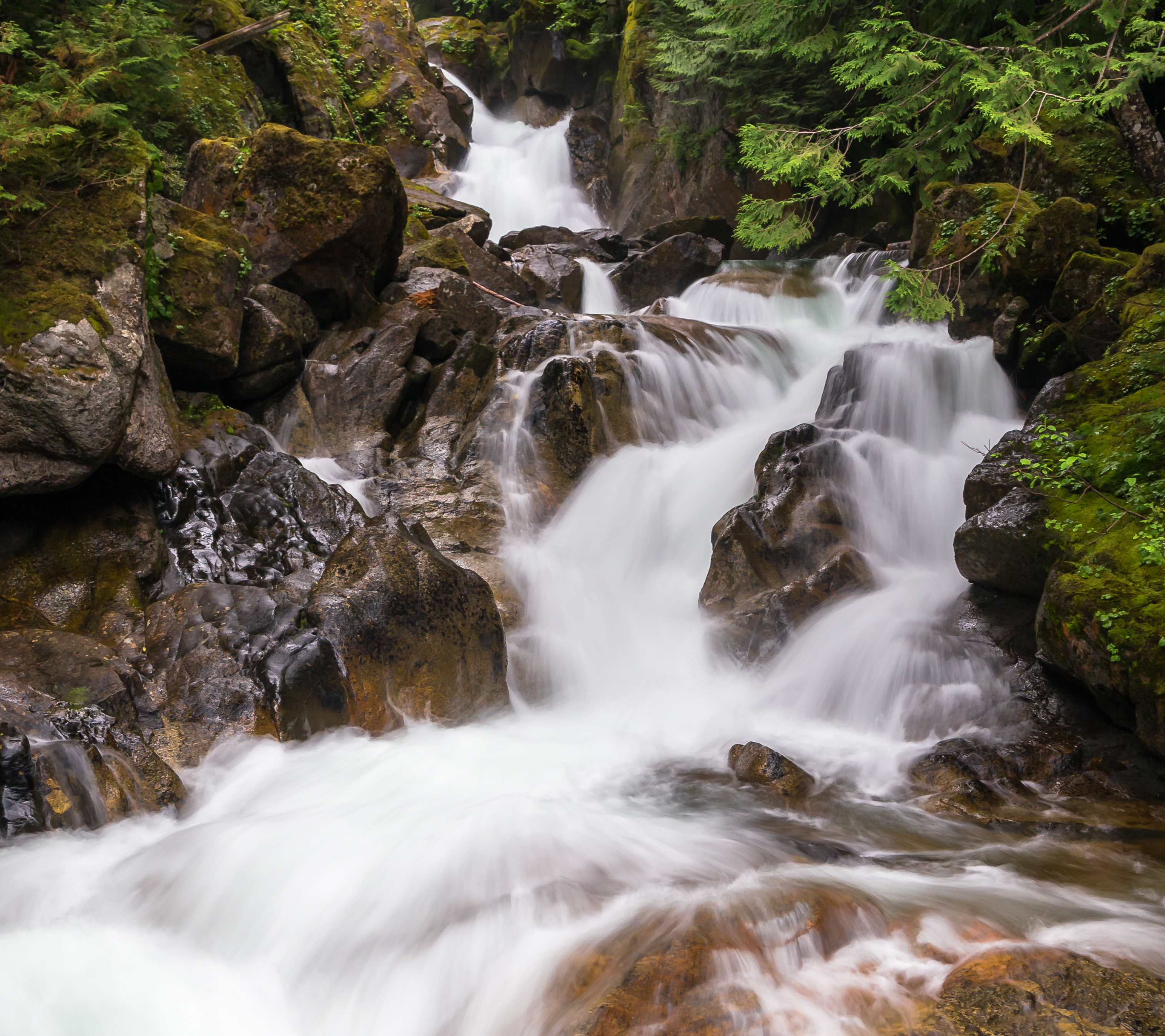
| Description | We saw the sign for this place and decided to stop and see how far we would have to hike to see the actual falls. Turns out the answer was "about 100 feet." |
| Date | |
| Source | Deception Falls |
| Author | Jonathan Miske from United States |
| Camera location | | View this and other nearby images on: OpenStreetMap |
|---|
.jpg¶ms=047.714794_N_-121.194350_E_globe:Earth_type:camera_source:Flickr_&language=en)
Licensing[edit]
.jpg&action=edit§ion=2)
This file is licensed under the Creative Commons Attribution-Share Alike 2.0 Generic license.
- You are free:
- to share – to copy, distribute and transmit the work
- to remix – to adapt the work
- Under the following conditions:
- attribution – You must give appropriate credit, provide a link to the license, and indicate if changes were made. You may do so in any reasonable manner, but not in any way that suggests the licensor endorses you or your use.
- share alike – If you remix, transform, or build upon the material, you must distribute your contributions under the same or compatible license as the original.
| This image was originally posted to Flickr by Jonathan Miske at https://flickr.com/photos/127035585@N03/18324788519 (archive). It was reviewed on 3 May 2018 by FlickreviewR 2 and was confirmed to be licensed under the terms of the cc-by-sa-2.0. |
File history
Click on a date/time to view the file as it appeared at that time.
| Date/Time | Thumbnail | Dimensions | User | Comment | |
|---|---|---|---|---|---|
| current | 23:09, 3 May 2018 | | 3,031 × 2,694 (4.74 MB) | MechQuester (talk | contribs) | Transferred from Flickr via #flickr2commons |
You cannot overwrite this file.
File usage on Commons
There are no pages that use this file.
File usage on other wikis
The following other wikis use this file:
- Usage on en.wikipedia.org
- Usage on www.wikidata.org
.jpg&oldid=516247458)