File:Deering Bridge 4.jpg
Jump to navigation
Jump to search
Size of this preview: 800 × 550 pixels. Other resolutions: 320 × 220 pixels | 640 × 440 pixels | 1,024 × 703 pixels | 1,280 × 879 pixels | 2,287 × 1,571 pixels.
Original file (2,287 × 1,571 pixels, file size: 1.45 MB, MIME type: image/jpeg)
Captions
Captions
Add a one-line explanation of what this file represents
Summary
[edit]
| Description |
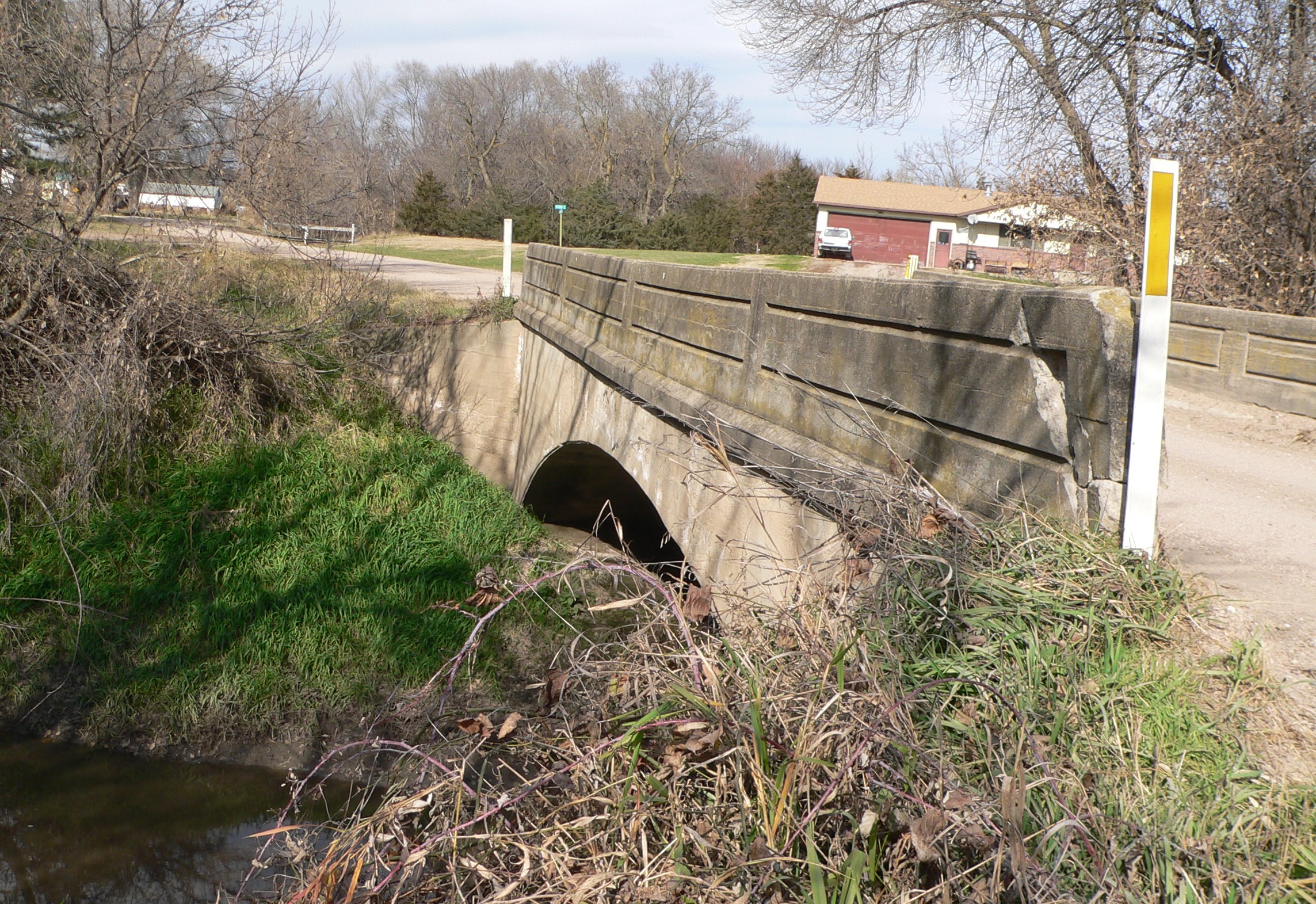
English: Deering Bridge, near Sutton, Nebraska; seen from the southwest (upstream). The bridge is located on the county line between Clay and Fillmore counties, where the county-line road crosses School Creek. The concrete spandrel arch bridge was built in 1916 by the Nebraska Bureau of Roads & Bridges and the Lincoln Construction Co. It is listed on the National Register of Historic Places. |
| Date | |
| Source | Own work |
| Author | Ammodramus |
Licensing
[edit]
| I, the copyright holder of this work, release this work into the public domain. This applies worldwide. In some countries this may not be legally possible; if so: I grant anyone the right to use this work for any purpose, without any conditions, unless such conditions are required by law. |
File history
Click on a date/time to view the file as it appeared at that time.
| Date/Time | Thumbnail | Dimensions | User | Comment | |
|---|---|---|---|---|---|
| current | 18:36, 11 November 2009 | | 2,287 × 1,571 (1.45 MB) | Ammodramus (talk | contribs) | {{Information |Description={{en|1=Deering Bridge, near Sutton, Nebraska; seen from the southwest (upstream). The bridge is located on the county line between Clay and [[:w:Fillmor |
You cannot overwrite this file.
File usage on Commons
There are no pages that use this file.