File:Den Haag (map of The Hague) in 1845. Rheinischer Städte-Atlas.jpg

Original file (2,264 × 1,408 pixels, file size: 1.5 MB, MIME type: image/jpeg)
Captions
Captions
Summary
[edit]_in_1845._Rheinischer_St%C3%A4dte-Atlas.jpg&action=edit§ion=1)
| Description |
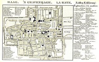
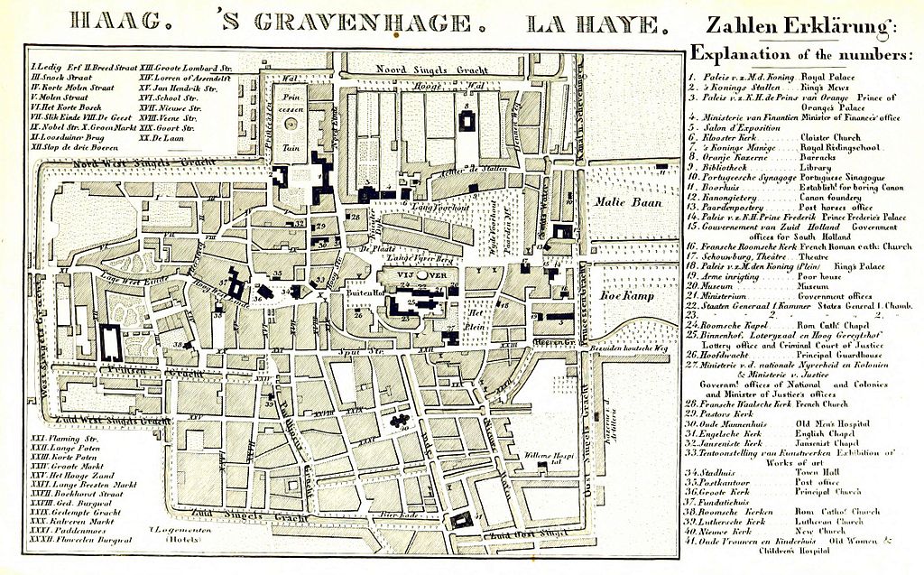
Deutsch: Rheinischer Städte-Atlas. Enthaltend die speciellen Grundrisse von Amsterdam, dem Haag, Rotterdam, etc. Nebst einer historischen Einleitung über diese Gegenden von Dr E. D., etc. |
| Date | |
| Source |
British Library Identifier: System number 001001344 Shelfmark(s): General Reference Collection 10250.d.38. UIN: BLL01001001344 |
| Author | Dr. Eduard Duller, Frankfurt am Main (according to source) |
Licensing
[edit]_in_1845._Rheinischer_St%C3%A4dte-Atlas.jpg&action=edit§ion=2)
This image is in the public domain because it is a mere mechanical scan or photocopy of a public domain original, or – from the available evidence – is so similar to such a scan or photocopy that no copyright protection can be expected to arise. The original itself is in the public domain for the following reason:
This tag is designed for use where there may be a need to assert that any enhancements (eg brightness, contrast, colour-matching, sharpening) are in themselves insufficiently creative to generate a new copyright. It can be used where it is unknown whether any enhancements have been made, as well as when the enhancements are clear but insufficient. For known raw unenhanced scans you can use an appropriate {{PD-old}} tag instead. For usage, see Commons:When to use the PD-scan tag.  | ||||
File history
Click on a date/time to view the file as it appeared at that time.
| Date/Time | Thumbnail | Dimensions | User | Comment | |
|---|---|---|---|---|---|
| current | 16:31, 19 September 2016 | | 2,264 × 1,408 (1.5 MB) | OSeveno (talk | contribs) | User created page with UploadWizard |
You cannot overwrite this file.
File usage on Commons
There are no pages that use this file.
_in_1845._Rheinischer_Städte-Atlas.jpg&oldid=509697219)