File:Departments map Côte d'Ivoire (2012-13).jpg
Jump to navigation
Jump to search
Size of this preview: 583 × 600 pixels. Other resolutions: 233 × 240 pixels | 466 × 480 pixels | 746 × 768 pixels | 995 × 1,024 pixels | 1,990 × 2,048 pixels | 4,137 × 4,257 pixels.
Original file (4,137 × 4,257 pixels, file size: 1.54 MB, MIME type: image/jpeg)
Captions
Captions
Add a one-line explanation of what this file represents
Summary[edit]
.jpg&action=edit§ion=1)
| Description |
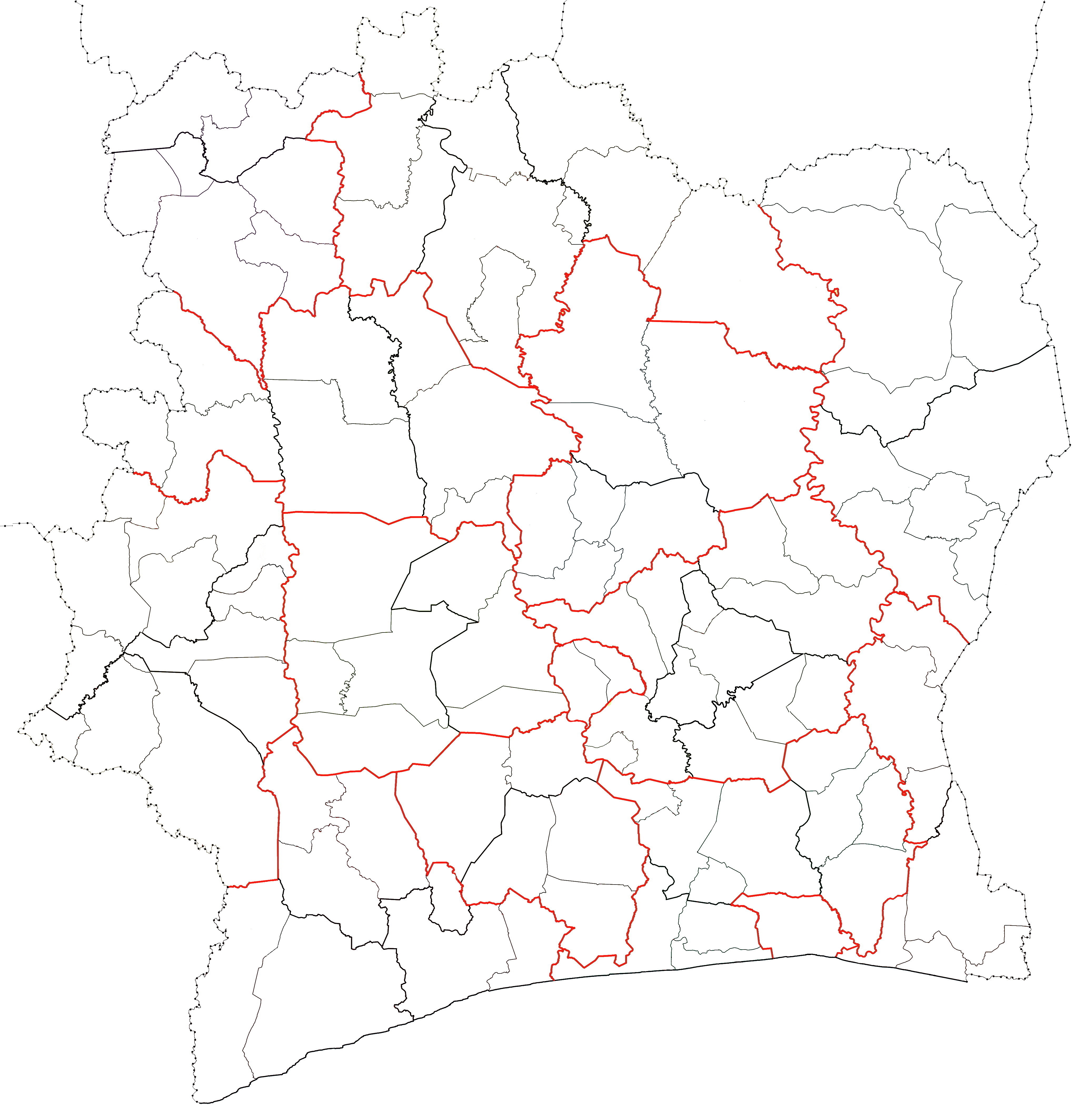
English: Blank map of the the 107 departments of Côte d'Ivoire that existed between 2012 and 2013. District (first-level division) boundaries in red. Region (second-level division) boundaries in bold black. Department (third-level division) boundaries in light black. |
| Date | |
| Source | Own work |
| Author | Good Olfactory |
Licensing[edit]
.jpg&action=edit§ion=2)
I, the copyright holder of this work, hereby publish it under the following license:
This file is licensed under the Creative Commons Attribution-Share Alike 4.0 International license.
- You are free:
- to share – to copy, distribute and transmit the work
- to remix – to adapt the work
- Under the following conditions:
- attribution – You must give appropriate credit, provide a link to the license, and indicate if changes were made. You may do so in any reasonable manner, but not in any way that suggests the licensor endorses you or your use.
- share alike – If you remix, transform, or build upon the material, you must distribute your contributions under the same or compatible license as the original.
File history
Click on a date/time to view the file as it appeared at that time.
| Date/Time | Thumbnail | Dimensions | User | Comment | |
|---|---|---|---|---|---|
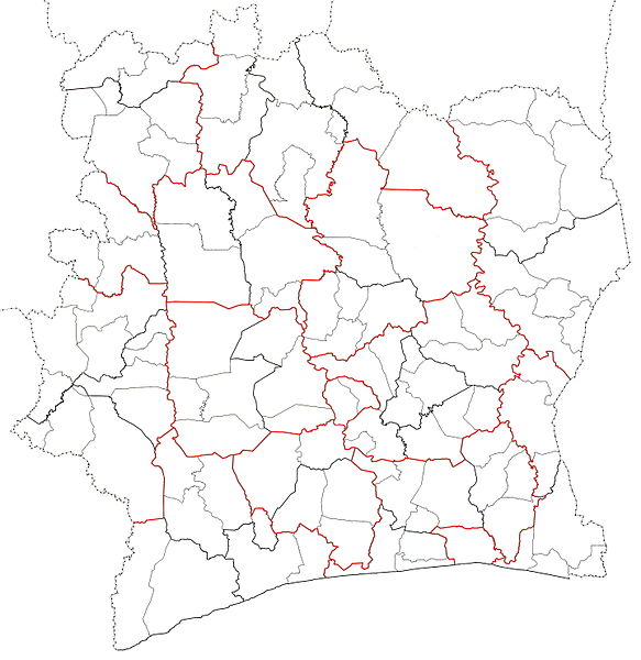
| current | 05:10, 23 February 2016 | | 4,137 × 4,257 (1.54 MB) | Good Olfactory (talk | contribs) | add 12 departments which were created in 2012, not in 2013. |
| 02:47, 20 February 2016 |  | 4,137 × 4,257 (1.49 MB) | Good Olfactory (talk | contribs) | User created page with UploadWizard |
You cannot overwrite this file.
File usage on Commons
There are no pages that use this file.
File usage on other wikis
The following other wikis use this file:
- Usage on en.wikipedia.org
- Usage on pl.wikipedia.org
.jpg&oldid=503228157)