File:Dhamek Stupa, Sarnath.jpg
Jump to navigation
Jump to search

Size of this preview: 399 × 599 pixels. Other resolutions: 160 × 240 pixels | 320 × 480 pixels | 512 × 768 pixels | 682 × 1,024 pixels | 1,365 × 2,048 pixels | 3,305 × 4,958 pixels.
Original file (3,305 × 4,958 pixels, file size: 14.82 MB, MIME type: image/jpeg)
Captions
Captions
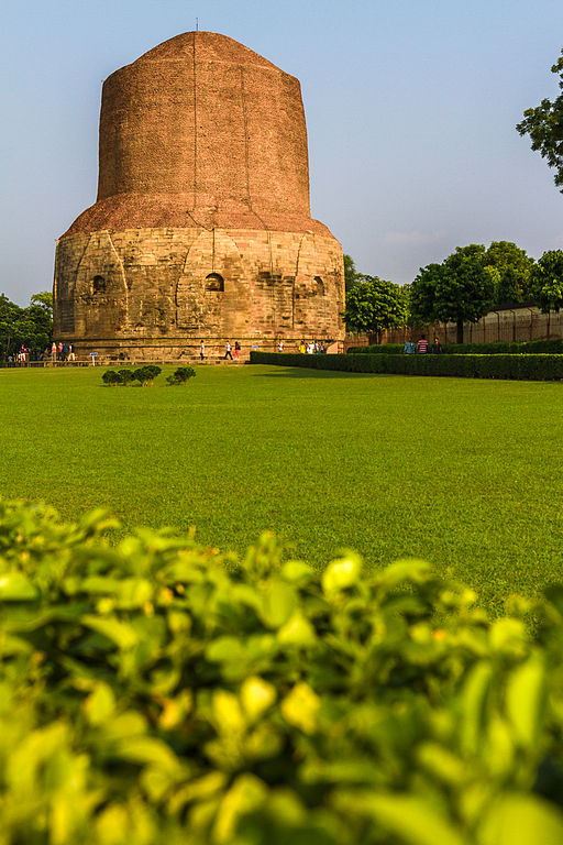
The Dhamekh Stupa, Sarnath, Uttar Pradesh, India
Summary
[edit]
| Description |
English: Dhamek Stupa 中文(简体):答枚克佛塔 |
| Date | |
| Source | Own work |
| Author | GONG JIE |
| Camera location | | View this and other nearby images on: OpenStreetMap |
|---|
Licensing
[edit]
I, the copyright holder of this work, hereby publish it under the following license:
This file is licensed under the Creative Commons Attribution-Share Alike 3.0 Unported license.
- You are free:
- to share – to copy, distribute and transmit the work
- to remix – to adapt the work
- Under the following conditions:
- attribution – You must give appropriate credit, provide a link to the license, and indicate if changes were made. You may do so in any reasonable manner, but not in any way that suggests the licensor endorses you or your use.
- share alike – If you remix, transform, or build upon the material, you must distribute your contributions under the same or compatible license as the original.
File history
Click on a date/time to view the file as it appeared at that time.
| Date/Time | Thumbnail | Dimensions | User | Comment | |
|---|---|---|---|---|---|
| current | 16:02, 23 October 2014 | | 3,305 × 4,958 (14.82 MB) | Neo954 (talk | contribs) | User created page with UploadWizard |
You cannot overwrite this file.
File usage
There are no pages that use this file.
Global file usage
The following other wikis use this file:
- Usage on bh.wikipedia.org
- Usage on en.wikipedia.org
- Usage on eo.wikipedia.org
- Usage on et.wikipedia.org
- Usage on fa.wikipedia.org
- Usage on hi.wikipedia.org
- Usage on hu.wikipedia.org
- Usage on ja.wikipedia.org
- Usage on kk.wikipedia.org
- Usage on mr.wikipedia.org
- Usage on my.wikipedia.org
- Usage on ne.wikipedia.org
- Usage on si.wikipedia.org
- Usage on sq.wikipedia.org
- Usage on ta.wikipedia.org
- Usage on th.wikipedia.org
- Usage on ur.wikipedia.org
- Usage on vi.wikipedia.org
- Usage on zh.wikipedia.org