File:Dobong-map.png
Jump to navigation
Jump to search
No higher resolution available.
Dobong-map.png (328 × 599 pixels, file size: 121 KB, MIME type: image/png)
Captions
Captions
Add a one-line explanation of what this file represents
Summary[edit]
| Description |
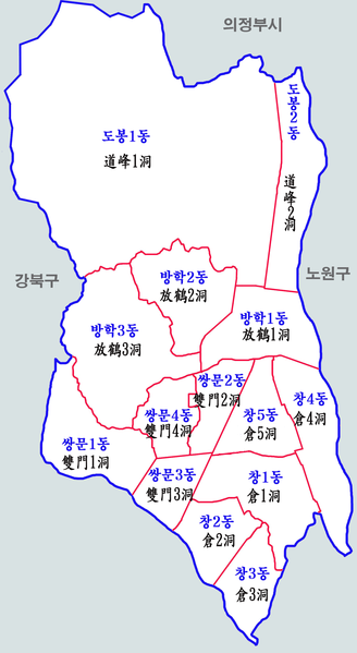
한국어: 서울시 도봉구 행정구역도 |
| Date | |
| Source | Own work |
| Author | 장길산 |
Licensing[edit]
| I, the copyright holder of this work, release this work into the public domain. This applies worldwide. In some countries this may not be legally possible; if so: I grant anyone the right to use this work for any purpose, without any conditions, unless such conditions are required by law. |
File history
Click on a date/time to view the file as it appeared at that time.
| Date/Time | Thumbnail | Dimensions | User | Comment | |
|---|---|---|---|---|---|
| current | 20:21, 16 January 2014 | | 328 × 599 (121 KB) | Ls1569 (talk | contribs) | 쌍문5동을 창5동으로 수정 |
| 08:56, 16 August 2012 |  | 1,000 × 1,825 (388 KB) | Asfreeas (talk | contribs) | 주변 지역 추가 | |
| 11:36, 24 December 2011 |  | 1,000 × 1,825 (558 KB) | Gloyacks (talk | contribs) | {{파일 정보 |설명=서울시 도봉구 행정구역도 |출처=자작 |날짜=2011년 12월 24일 |만든이=장길산 |저작권= |기타= }} |
You cannot overwrite this file.
File usage on Commons
There are no pages that use this file.
File usage on other wikis
The following other wikis use this file:
- Usage on ko.wikipedia.org