File:Dominica-locator.png
Jump to navigation
Jump to search
No higher resolution available.
Dominica-locator.png (330 × 354 pixels, file size: 2 KB, MIME type: image/png)
Captions
Captions
Add a one-line explanation of what this file represents
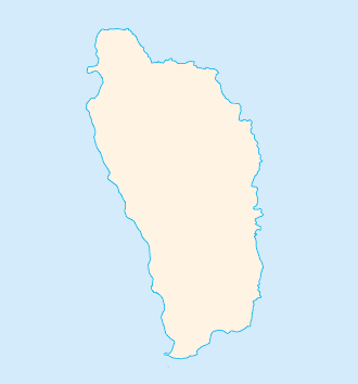
| Description | Blank map of Dominica |
| Date | |
| Source | image:Do-map.png |
| Author | CIA / Obersachse |
| Permission (Reusing this file) |
PD |
| Other versions | Image:Dominica-blank-map.png |
This image is in the public domain because it contains materials that originally came from the United States Central Intelligence Agency's World Factbook.
|
 |
File history
Click on a date/time to view the file as it appeared at that time.
| Date/Time | Thumbnail | Dimensions | User | Comment | |
|---|---|---|---|---|---|
| current | 09:50, 3 February 2008 | | 330 × 354 (2 KB) | Obersachse (talk | contribs) | {{Information |Description=Blank map of Dominica |Source=image:Do-map.png |Date=2008-02-03 |Author=CIA / Obersachse |Permission=PD |other_versions=Image:Dominica-blank-map.png }} {{CIA-map}} Category:Maps of Dominica |
You cannot overwrite this file.
File usage on Commons
There are no pages that use this file.
File usage on other wikis
The following other wikis use this file:
- Usage on de.wikipedia.org