File:Dunedin and inner Otago Harbour after sunset from Signal Hill.jpg
Jump to navigation
Jump to search

Size of this preview: 800 × 471 pixels. Other resolutions: 320 × 188 pixels | 640 × 376 pixels | 1,024 × 602 pixels | 1,280 × 753 pixels | 2,560 × 1,506 pixels | 4,896 × 2,880 pixels.
Original file (4,896 × 2,880 pixels, file size: 3.03 MB, MIME type: image/jpeg)
Captions
Captions
Add a one-line explanation of what this file represents
Summary[edit]
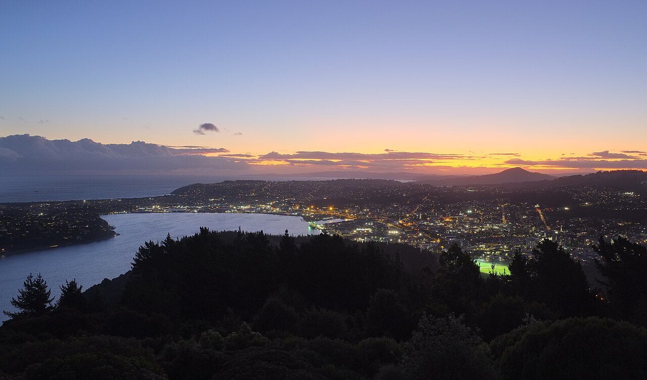
| Description | Dunedin and inner Otago Harbour after sunset from Signal Hill, with the lit up Caledonian Ground sports field in the lower right below Saddle Hill in the distance |
| Date | |
| Source | Own work |
| Author | Pseudopanax at English Wikipedia |
| Camera location | | View this and other nearby images on: OpenStreetMap |
|---|
Licensing[edit]
| I, the copyright holder of this work, release this work into the public domain. This applies worldwide. In some countries this may not be legally possible; if so: I grant anyone the right to use this work for any purpose, without any conditions, unless such conditions are required by law. |
| Annotations | This image is annotated: View the annotations at Commons |
File history
Click on a date/time to view the file as it appeared at that time.
| Date/Time | Thumbnail | Dimensions | User | Comment | |
|---|---|---|---|---|---|
| current | 22:00, 22 September 2023 | | 4,896 × 2,880 (3.03 MB) | Pseudopanax (talk | contribs) | == {{int:filedesc}} == {{Information |Description=Dunedin and inner Otago Harbour after sunset from Signal Hill, with the lit up Caledonian Ground sports field in the lower right below Saddle Hill in the distance |Source={{Own}} |Date=2023-02-09 |Author={{user at project|Pseudopanax|wikipedia|en}} }} {{location|45|51|31.3|S|170|32|48.3|E}} == {{int:license-header}} == {{PD-self}} Category:Views of Dunedin Category:Night in Dunedin Category:Otago Harbour |
You cannot overwrite this file.
File usage on Commons
There are no pages that use this file.