File:EC12-1990 European Community map.svg
Ir a la navegación
Ir a la búsqueda

Tamaño de esta previsualización PNG del archivo SVG: 680 × 520 píxeles. Otras resoluciones: 314 × 240 píxeles | 628 × 480 píxeles | 1004 × 768 píxeles | 1280 × 979 píxeles | 2560 × 1958 píxeles.
Archivo original (archivo SVG, nominalmente 680 × 520 píxeles, tamaño de archivo: 594 kB)
Leyendas
Leyendas
Añade una explicación corta acerca de lo que representa este archivo
Resumen[editar]
| Descripción |
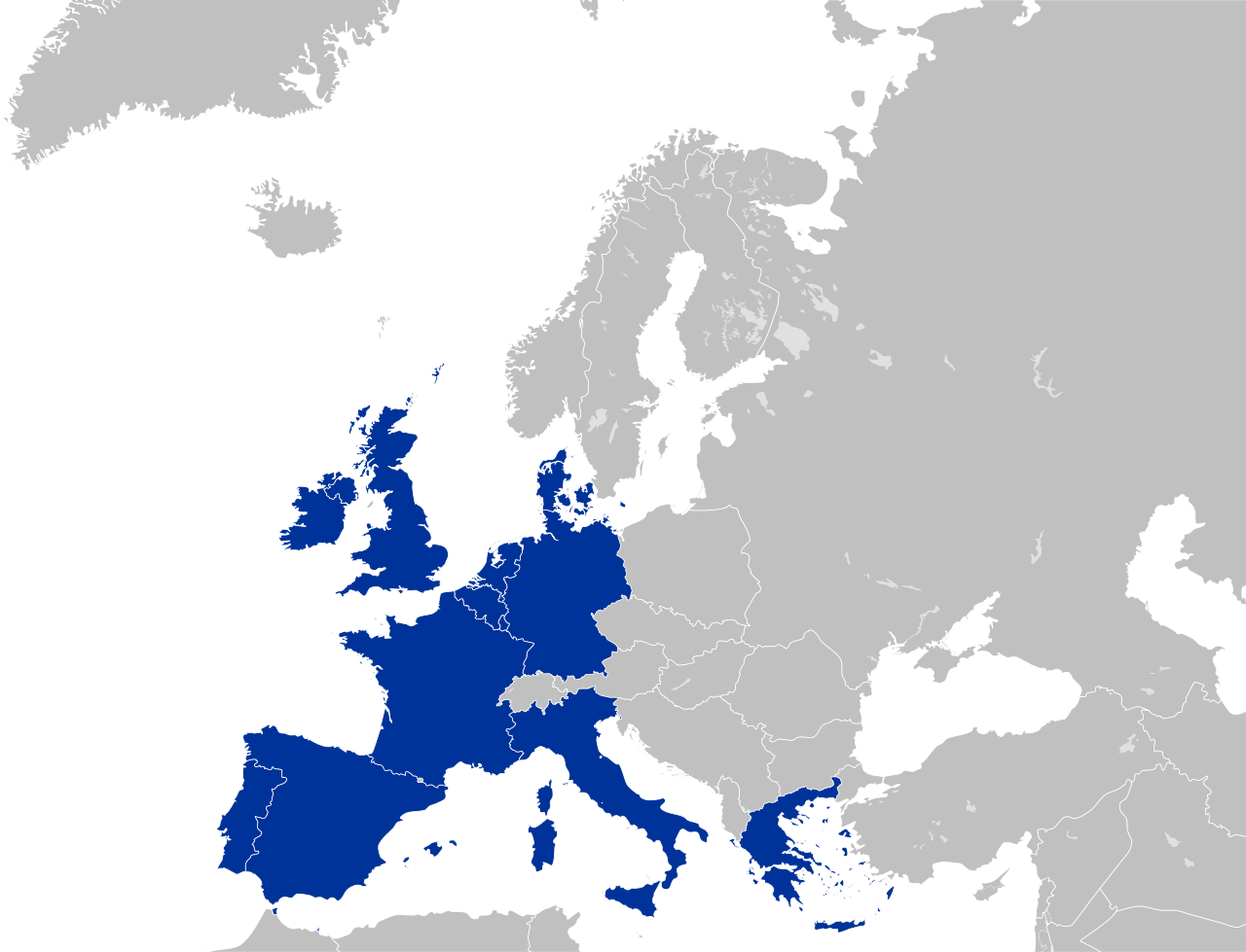
English: European Community (EC 12)
Deutsch: Europäische Gemeinschaft |
| Fecha | |
| Fuente | Trabajo propio |
| Autor | Kolja21 |
| Otras versiones |
|


Color scheme[editar]
- Europe blue / Europablau / azul europeo / bleu européenne (Pantone; RGB 003399): EU current members
- Regent St Blue (RAL 6034; RGB 9ac0cd): Transition period (see Brexit withdrawal agreement)
- Pantone yellow / Gelb / amarillo / jaune (Pantone; RGB ffcc00): EU new members
- Light blue / Lichtblau / azul claro / bleu clair (RGB 2782bb): EU candidate countries
- Light green / Lichtgrün / verde claro / vert clair (RGB 77bbbc): EU potential candidate countries
- Lawngreen / Grasgrün / verde hierba / vert pré (RGB a0e200): EU membership possible
- Orange / Orange / anaranjado / orange (RGB ff6600): Eastern Partnership
- Emerald green / Smaragdgrün / verde esmeralda / smaragdin (RAL 6001; RGB 276d3a): EFTA member states
- Pastel green / Weißgrün / verde blanquecino / vert blanc (RAL 6019; RGB b3d9b4): EFTA former member states
Licencia[editar]
Yo, el titular de los derechos de autor de esta obra, la publico en los términos de la siguiente licencia:
Este archivo se encuentra bajo la licencia Creative Commons Atribución 3.0 Unported.
- Eres libre:
- de compartir – de copiar, distribuir y transmitir el trabajo
- de remezclar – de adaptar el trabajo
- Bajo las siguientes condiciones:
- atribución – Debes otorgar el crédito correspondiente, proporcionar un enlace a la licencia e indicar si realizaste algún cambio. Puedes hacerlo de cualquier manera razonable pero no de manera que sugiera que el licenciante te respalda a ti o al uso que hagas del trabajo.
Historial del archivo
Haz clic sobre una fecha y hora para ver el archivo tal como apareció en ese momento.
| Fecha y hora | Miniatura | Dimensiones | Usuario | Comentario | |
|---|---|---|---|---|---|
| actual | 03:03 16 jun 2016 | | 680 × 520 (594 kB) | Turnless (discusión | contribs.) | Improved version |
| 00:07 24 may 2009 |  | 680 × 520 (421 kB) | Kolja21 (discusión | contribs.) | {{Information |Description={{en|1=European Community (EC 12)}} {{de|1=Europäische Gemeinschaft}} |Source=Eigenes Werk (own work) |Author=Kolja21 |Date=2009-05-24 |Permission= |other_versions= }} <!--{{ImageU |
No puedes sobrescribir este archivo.
Usos del archivo
Las siguientes páginas usan este archivo:
- Atlas of the European Union
- Enlargement of the European Union
- User:Kolja21
- User:Kolja21/Maps of the European Union
- User:Kolja21/Maps of the European Union enlargement
- File:EC-EU-enlargement animation.gif
- File:EC06-1957-58 EC and USSR map.svg
- File:EC06-1957-58 European Community map.svg
- File:EC09-1973 European Community map.svg
- File:EC09-1973 European Community map enlargement.svg
- File:EC10-1981 European Community map.svg
- File:EC10-1981 European Community map enlargement.svg
- File:EC12-1986 EC and USSR map.svg
- File:EC12-1986 European Community map.svg
- File:EC12-1986 European Community map enlargement.svg
- File:EC12-1990 European Community map.svg
- File:EC12-1990 European Community map enlargement.svg
- File:EU-candidate countries map.svg
- File:EU12-1992-93 European Union map.svg
- File:EU15-1995 European Union map.svg
- File:EU15-1995 European Union map enlargement.svg
- File:EU25-2004 European Union map.svg
- File:EU25-2004 European Union map enlargement.svg
- File:EU27-2007 European Union map.svg
- File:EU27-2007 European Union map enlargement.svg
- File:EU27-2007 as a single entity.svg
- File:EU27-2007 globe.svg
- File:EU27-2008 as a single entity in the world.svg
- File:EU27-2012-candidate countries map.svg
- File:EU27-2012-candidate countries only map.svg
- File:EU27-2012-further enlargement map.svg
- File:EU28-2013 European Union map enlargement.svg
- File:EU28-candidate countries only map.svg
- File:EU membership possible map.svg
- File:Eu - members, candidates, association.svg
Uso global del archivo
Las wikis siguientes utilizan este archivo:
- Uso en es.wikipedia.org
- Uso en et.wikipedia.org
- Uso en fr.wikipedia.org
- Uso en gl.wikipedia.org
- Uso en mwl.wikipedia.org
- Uso en pt.wikipedia.org