File:East Germany North Korea Locator (cropped).png
跳至導覽
跳至搜尋
預覽大小:800 × 481 像素。 其他解析度:320 × 192 像素 | 640 × 385 像素 | 1,075 × 646 像素。
原始檔案 (1,075 × 646 像素,檔案大小:54 KB,MIME 類型:image/png)
說明
說明
添加單行說明來描述出檔案所代表的內容
摘要
[編輯]| 描述 |
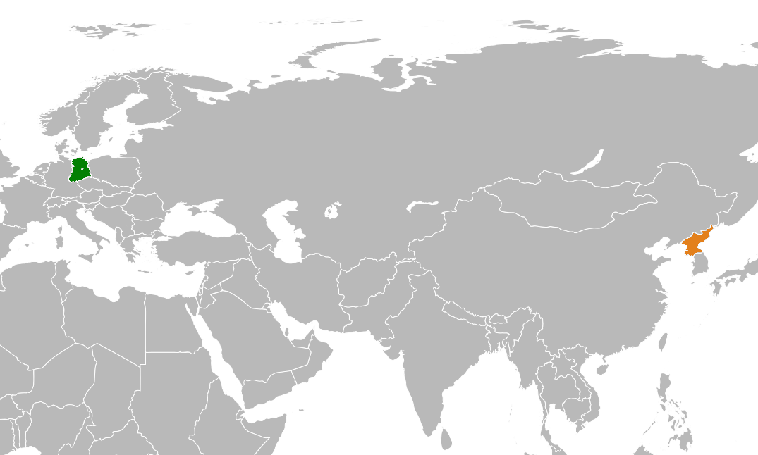
English: Map highlighting relative positions of East Germany and North Korea. |
| 日期 | |
| 來源 | 自己的作品 |
| 作者 | PlanespotterA320 |
| 其他版本 |

.png&action=edit§ion=1)
授權條款
[編輯].png&action=edit§ion=2)
我,本作品的著作權持有者,決定用以下授權條款發佈本作品:
此檔案採用創用CC 姓名標示-相同方式分享 4.0 國際授權條款。
- 您可以自由:
- 分享 – 複製、發佈和傳播本作品
- 重新修改 – 創作演繹作品
- 惟需遵照下列條件:
- 姓名標示 – 您必須指名出正確的製作者,和提供授權條款的連結,以及表示是否有對內容上做出變更。您可以用任何合理的方式來行動,但不得以任何方式表明授權條款是對您許可或是由您所使用。
- 相同方式分享 – 如果您利用本素材進行再混合、轉換或創作,您必須基於如同原先的相同或兼容的條款,來分布您的貢獻成品。
檔案歷史
點選日期/時間以檢視該時間的檔案版本。
| 日期/時間 | 縮圖 | 尺寸 | 使用者 | 備註 | |
|---|---|---|---|---|---|
| 目前 | 2018年4月20日 (五) 14:34 | | 1,075 × 646(54 KB) | PlanespotterA320(留言 | 貢獻) | File:East Germany North Korea Locator.png cropped 61 % horizontally, 54 % vertically using CropTool with precise mode. |
無法覆蓋此檔案。
檔案用途
下列頁面有用到此檔案:
全域檔案使用狀況
以下其他 wiki 使用了這個檔案:
- en.wikipedia.org 的使用狀況
- he.wikipedia.org 的使用狀況
- zh.wikipedia.org 的使用狀況
.png&oldid=643818587)