File:Eastern Mediterranean detail of portolan chart of Guillem Soler (c.1380, Paris).jpg
Jump to navigation
Jump to search

Size of this preview: 458 × 599 pixels. Other resolutions: 183 × 240 pixels | 367 × 480 pixels | 587 × 768 pixels | 782 × 1,024 pixels | 2,401 × 3,142 pixels.
Original file (2,401 × 3,142 pixels, file size: 2.7 MB, MIME type: image/jpeg)
Captions
Captions
Add a one-line explanation of what this file represents
Summary
[edit].jpg&action=edit§ion=1)
| Description |
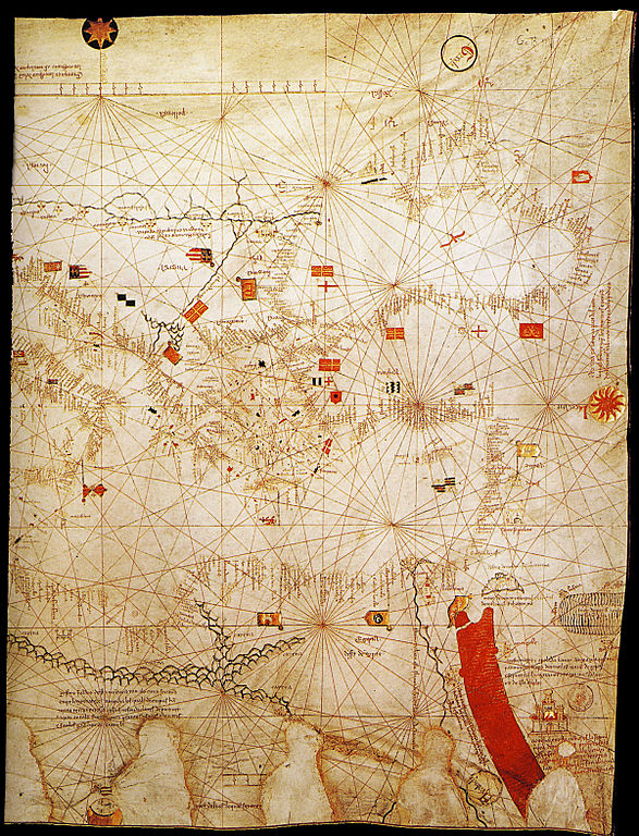
English: Detail of eastern Mediterranean from the portolan chart signed by Majorcan cartographer Guillem Soler (Guillelmus Soleri, Guglielmo Soleri) but undated (est. c.1380), held by the Bibliothèque nationale de France in Paris, France. |
| Date | circa 1380 |
| Source | Bibliothèque nationale de France in Paris, France. |
| Author | Guillem Soler (Guillelmus Soleri, Guglielmo Soleri) |
| Other versions |
.jpg) |
Licensing
[edit].jpg&action=edit§ion=2)
|
This work is in the public domain in its country of origin and other countries and areas where the copyright term is the author's life plus 70 years or fewer. | |
| This file has been identified as being free of known restrictions under copyright law, including all related and neighboring rights. | |
File history
Click on a date/time to view the file as it appeared at that time.
| Date/Time | Thumbnail | Dimensions | User | Comment | |
|---|---|---|---|---|---|
| current | 18:27, 19 June 2011 | | 2,401 × 3,142 (2.7 MB) | Walrasiad (talk | contribs) | {{Information |Description ={{en|1=Detail of eastern Mediterranean from the portolan chart signed by Majorcan cartographer Guillem Soler (Guillelmus Soleri, Guglielmo Soleri) but undated (est. c.1380), held by the Bibliothèque nati |
You cannot overwrite this file.
File usage on Commons
The following page uses this file:
File usage on other wikis
The following other wikis use this file:
- Usage on en.wikipedia.org
.jpg&oldid=148238880)