File:El Salvador relief location map.jpg
Jump to navigation
Jump to search

Size of this preview: 800 × 508 pixels. Other resolutions: 320 × 203 pixels | 640 × 406 pixels | 1,024 × 650 pixels | 1,280 × 812 pixels | 2,000 × 1,269 pixels.
Original file (2,000 × 1,269 pixels, file size: 1.28 MB, MIME type: image/jpeg)
Captions
Captions
Add a one-line explanation of what this file represents
| Description |
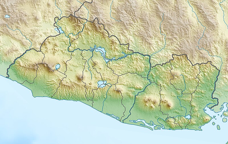
Deutsch: Physische Positionskarte von El Salvador
Quadratische Plattkarte, N-S-Streckung 103 %. Geographische Begrenzung der Karte:
English: Physical location map of El Salvador
Equirectangular projection, N/S stretching 103 %. Geographic limits of the map:
|
| Date | |
| Source | Own work, using map data from administrative map by NordNordWest. The relief was created from SRTM-3 relief data |
| Author | Carport |
| Permission (Reusing this file) |
This file is licensed under the Creative Commons Attribution-Share Alike 3.0 Unported license.
|
| Other versions |
|

File history
Click on a date/time to view the file as it appeared at that time.
| Date/Time | Thumbnail | Dimensions | User | Comment | |
|---|---|---|---|---|---|
| current | 18:35, 28 March 2010 | | 2,000 × 1,269 (1.28 MB) | Carport (talk | contribs) | {{Information |Description={{de|Physische Positionskarte von {{w|El Salvador|3=de}}}} Quadratische Plattkarte, N-S-Streckung 103 %. Geographische Begrenzung der Karte: * N: 14.6° N * S: 13.0° N * W: 90.2° W * O: 87.6° W {{en|Physical location map of { |
You cannot overwrite this file.
File usage
The following 13 pages use this file:
- File:El Salvador Ahuachapan location map.svg
- File:El Salvador Cabañas location map.svg
- File:El Salvador Chalatenango location map.svg
- File:El Salvador Cuscatlán location map.svg
- File:El Salvador La Libertad location map.svg
- File:El Salvador La Paz location map.svg
- File:El Salvador Morazan location map.svg
- File:El Salvador San Miguel location map.svg
- File:El Salvador San Salvador location map.svg
- File:El Salvador San Vicente location map.svg
- File:El Salvador Santa Ana location map.svg
- File:El Salvador Sonsonate location map.svg
- File:El Salvador location map.svg
Global file usage
The following other wikis use this file:
- Usage on ar.wikipedia.org
- Usage on ast.wikipedia.org
- Usage on be.wikipedia.org
- Usage on bg.wikipedia.org
- Usage on bn.wikipedia.org
- Usage on bs.wikipedia.org
- Usage on ceb.wikipedia.org
- Usage on ce.wikipedia.org
- Usage on ckb.wikipedia.org
- Usage on cs.wikipedia.org
- Usage on da.wikipedia.org
- Usage on de.wikipedia.org
View more global usage of this file.