File:Entering West Sacramento, California, Interstate 80 (26101132156).jpg

Original file (3,300 × 1,948 pixels, file size: 4.18 MB, MIME type: image/jpeg)
Captions
Captions
Summary[edit]
.jpg&action=edit§ion=1)
| Description |
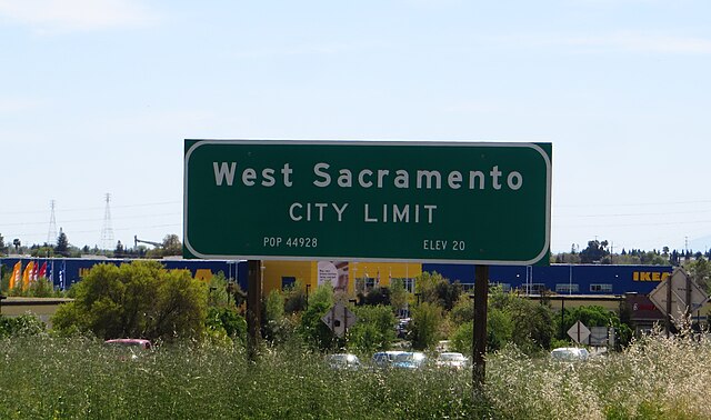
West Sacramento (also known as West Sac) is a city in Yolo County, California. The city is separated from Sacramento by the Sacramento River which also separates Sacramento and Yolo counties. It is a fast-growing community; the population was 48,744 at the 2010 census, up from 31,615 at the 2000 census. The traditional industrial center of the region since the Gold Rush era, West Sacramento is home to a diverse economy and is one of the area's top four employment centers. The United States Conference of Mayors named West Sacramento as the Most Livable City in America in 2014 in the category of cities with fewer than 100,000 residents. West Sacramento is part of the Sacramento–Arden Arcade–Roseville Metropolitan Statistical Area which has a population (2000) of approximately 1,796,857. Major industries to the region include agriculture, government, and transportation. <a href="https://en.wikipedia.org/wiki/West_Sacramento,_California" rel="nofollow">en.wikipedia.org/wiki/West_Sacramento,_California</a> <a href="https://en.wikipedia.org/wiki/Wikipedia:Text_of_Creative_Commons_Attribution-ShareAlike_3.0_Unported_License" rel="nofollow">en.wikipedia.org/wiki/Wikipedia:Text_of_Creative_Commons_...</a> |
| Date | |
| Source | Entering West Sacramento, California, Interstate 80 |
| Author | Ken Lund from Reno, Nevada, USA |
| Camera location | | View this and other nearby images on: OpenStreetMap |
|---|
.jpg¶ms=038.593305_N_-121.551387_E_globe:Earth_type:camera_source:Flickr_&language=en)
Licensing[edit]
.jpg&action=edit§ion=2)
- You are free:
- to share – to copy, distribute and transmit the work
- to remix – to adapt the work
- Under the following conditions:
- attribution – You must give appropriate credit, provide a link to the license, and indicate if changes were made. You may do so in any reasonable manner, but not in any way that suggests the licensor endorses you or your use.
- share alike – If you remix, transform, or build upon the material, you must distribute your contributions under the same or compatible license as the original.
| This image was originally posted to Flickr by Ken Lund at https://flickr.com/photos/75683070@N00/26101132156. It was reviewed on 21 June 2022 by FlickreviewR 2 and was confirmed to be licensed under the terms of the cc-by-sa-2.0. |
File history
Click on a date/time to view the file as it appeared at that time.
| Date/Time | Thumbnail | Dimensions | User | Comment | |
|---|---|---|---|---|---|
| current | 13:58, 21 June 2022 | | 3,300 × 1,948 (4.18 MB) | Leonaardog (talk | contribs) | Transferred from Flickr via #flickr2commons |
You cannot overwrite this file.
File usage on Commons
There are no pages that use this file.
.jpg&oldid=678869011)