File:Estoril track map.png
Jump to navigation
Jump to search

Size of this preview: 800 × 352 pixels. Other resolutions: 320 × 141 pixels | 640 × 281 pixels | 1,344 × 591 pixels.
Original file (1,344 × 591 pixels, file size: 107 KB, MIME type: image/png)
Captions
Captions
Add a one-line explanation of what this file represents

|
File:Estoril track map.svg is a vector version of this file. It should be used in place of this PNG file when not inferior.
File:Estoril track map.png → File:Estoril track map.svg
For more information, see Help:SVG. |
 |
Summary[edit]
| Description |
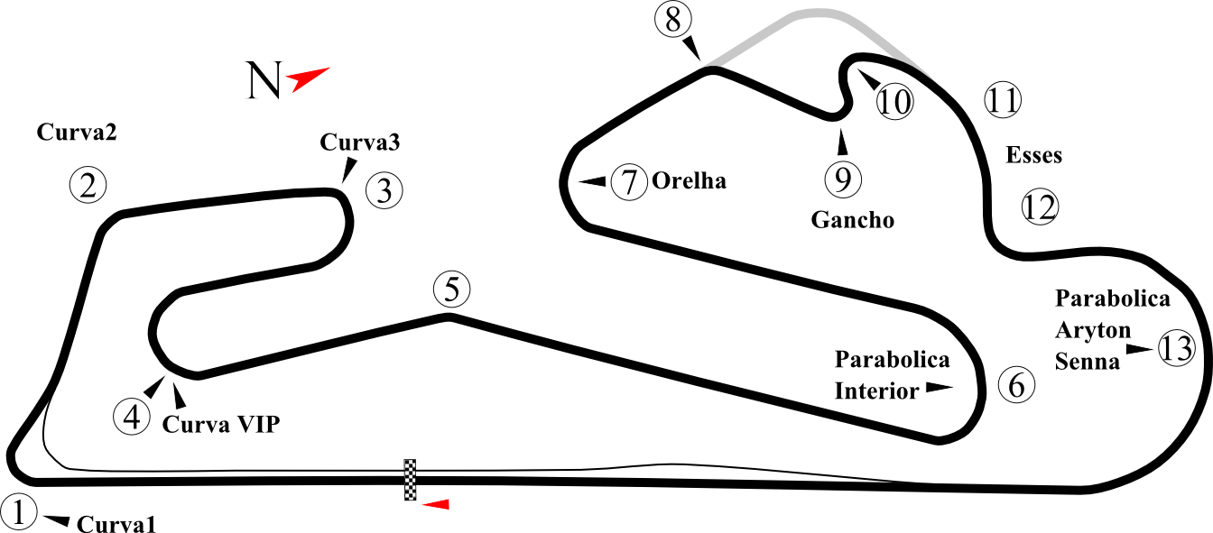
English: Track map of Estoril. This PNG version is intended for use with browsers like IE7 that don't support SVG. |
| Date | |
| Source | Own work |
| Author | Will Pittenger |
| Other versions |
|
| Camera location | | View this and other nearby images on: OpenStreetMap |
|---|
Licensing[edit]
| This work has been released into the public domain by its author, Will Pittenger. This applies worldwide. In some countries this may not be legally possible; if so: |
Original upload log[edit]
| date/time | username | resolution | size | edit summary | |
|---|---|---|---|---|---|
| 10:18, 16 July 2008 | User:Will Pittenger | <a href="http://upload.wikimedia.org/wikipedia/commons/f/f7/Estroril.png"><img alt="Thumbnail for version as of 10:18, 16 July 2008" src="http://upload.wikimedia.org/wikipedia/commons/thumb/f/f7/Estroril.png/120px-Estroril.png" width="120" height="53" border="0" /></a> | 1,344×591 | 107 KB | {{Information |Description={{en|1=Track map of <a href="http://en.wikipedia.org/wiki/Estoril" class="extiw" title="w:Estoril">w:Estoril</a>. This PNG version is intended for use with browsers like IE7 that don't support SVG.}} |Source={{own}} |Author=<a href="/wiki/User:Will_Pittenger" title="User:Will Pittenger">Will Pittenger</a> |Date=7-16-2008 |Permission= |
File history
Click on a date/time to view the file as it appeared at that time.
| Date/Time | Thumbnail | Dimensions | User | Comment | |
|---|---|---|---|---|---|
| current | 17:05, 22 October 2008 | | 1,344 × 591 (107 KB) | BetacommandBot (talk | contribs) | move approved by: User:Martin H. This image was moved from Image:Estroril.png {{superseded|Image:Estroril.svg}} == Summary == {{Information |Description={{en|1=Track map of Estoril. This PNG version is intended for use with brows |
You cannot overwrite this file.
File usage on Commons
There are no pages that use this file.