File:Ewing neighborhoods.png
Jump to navigation
Jump to search
No higher resolution available.
Ewing_neighborhoods.png (679 × 469 pixels, file size: 374 KB, MIME type: image/png)
Captions
Captions
Add a one-line explanation of what this file represents
Summary
[edit]
| Description |
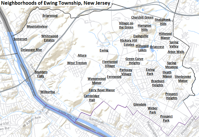
English: Map of neighborhoods in Ewing Township, New Jersey. Background map from US Census Bureau, altered with the addition of neighborhood names. |
| Date | |
| Source | Tiger Mapping - US Census Bureau |
| Author | US Census Bureau - Altered by uploader to show neighborhoods |
Licensing
[edit]
This image or file is a work of a United States Census Bureau employee, taken or made as part of that person's official duties. As a work of the U.S. federal government, the image is in the public domain.
|
 |
File history
Click on a date/time to view the file as it appeared at that time.
| Date/Time | Thumbnail | Dimensions | User | Comment | |
|---|---|---|---|---|---|
| current | 10:12, 26 March 2015 | | 679 × 469 (374 KB) | Famartin (talk | contribs) | added Hillwood Lakes |
| 04:29, 19 March 2015 |  | 679 × 469 (340 KB) | Famartin (talk | contribs) | User created page with UploadWizard |
You cannot overwrite this file.
File usage on Commons
The following page uses this file:
File usage on other wikis
The following other wikis use this file:
- Usage on en.wikipedia.org
- Usage on www.wikidata.org