File:F-86D JASDF - 航空自衛隊 - panoramio (1).jpg
Jump to navigation
Jump to search

Size of this preview: 800 × 379 pixels. Other resolutions: 320 × 152 pixels | 640 × 303 pixels | 1,024 × 485 pixels | 1,280 × 607 pixels | 2,532 × 1,200 pixels.
Original file (2,532 × 1,200 pixels, file size: 480 KB, MIME type: image/jpeg)
Captions
Captions
Add a one-line explanation of what this file represents
Summary
[edit].jpg&action=edit§ion=1)
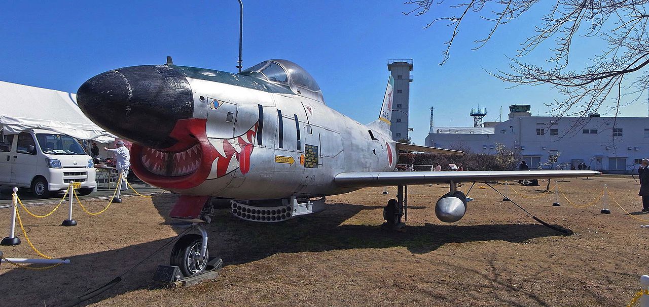
| Description | F-86D JASDF / 航空自衛隊 | ||
| Date | Taken on 22 February 2014 | ||
| Source | https://web.archive.org/web/20161028171047/http://www.panoramio.com/photo/104058836 | ||
| Author | z tanuki | ||
| Permission (Reusing this file) |
This file is licensed under the Creative Commons Attribution 3.0 Unported license. Attribution: z tanuki
|
||
| Tags (from Panoramio photo page) | Komaki-shi, 2014, Aircraft 航空機, JSDF 自衛隊, 愛知県 |
| Camera location | | View this and other nearby images on: OpenStreetMap |
|---|
.jpg¶ms=035.261082_N_0136.926852_E_globe:Earth_type:camera_source:Panoramio_&language=en)
File history
Click on a date/time to view the file as it appeared at that time.
| Date/Time | Thumbnail | Dimensions | User | Comment | |
|---|---|---|---|---|---|
| current | 19:25, 22 March 2017 | | 2,532 × 1,200 (480 KB) | Panoramio upload bot (talk | contribs) | == {{int:filedesc}} == {{Information |description=F-86D JASDF / 航空自衛隊 |date={{Taken on|2014-02-22}} |source=http://www.panoramio.com/photo/104058836 |author=[http://www.panoramio.com/user/238971?with_photo_id=104058836 z tanuki] |permission={... |
You cannot overwrite this file.
File usage on Commons
The following page uses this file:
.jpg&oldid=488920597)