File:Farmers on the Nile - panoramio.jpg
Jump to navigation
Jump to search

Size of this preview: 800 × 533 pixels. Other resolutions: 320 × 213 pixels | 640 × 427 pixels | 1,024 × 683 pixels | 1,280 × 853 pixels | 2,560 × 1,707 pixels | 3,813 × 2,542 pixels.
Original file (3,813 × 2,542 pixels, file size: 2.84 MB, MIME type: image/jpeg)
Captions
Captions
Add a one-line explanation of what this file represents
Summary
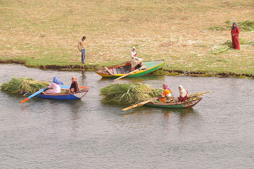
[edit]| Description | Farmers on the Nile | ||
| Date | Taken on 26 February 2010 | ||
| Source | https://web.archive.org/web/20161019181644/http://www.panoramio.com/photo/61387313 | ||
| Author | David Broad | ||
| Permission (Reusing this file) |
This file is licensed under the Creative Commons Attribution 3.0 Unported license. Attribution: David Broad
|
||
| Tags (from Panoramio photo page) | Al Awsat Qamoula, _Alpha Group, Egypt, Qena |
| Camera location | | View this and other nearby images on: OpenStreetMap |
|---|

File history
Click on a date/time to view the file as it appeared at that time.
| Date/Time | Thumbnail | Dimensions | User | Comment | |
|---|---|---|---|---|---|
| current | 11:43, 22 December 2016 | | 3,813 × 2,542 (2.84 MB) | Panoramio upload bot (talk | contribs) | == {{int:filedesc}} == {{Information |description=Farmers on the Nile |date={{Taken on|2010-02-26}} |source=http://www.panoramio.com/photo/61387313 |author=[http://www.panoramio.com/user/2134453?with_photo_id=61387313 David Broad] |permission={{cc-by-3... |
You cannot overwrite this file.
File usage on Commons
The following 2 pages use this file:
File usage on other wikis
The following other wikis use this file:
- Usage on en.wikipedia.org
- Usage on ms.wikipedia.org