File:Flag-map of Nova Scotia.svg
Aller à la navigation
Aller à la recherche

Taille de cet aperçu PNG pour ce fichier SVG : 615 × 513 pixels. Autres résolutions : 288 × 240 pixels | 576 × 480 pixels | 921 × 768 pixels | 1 228 × 1 024 pixels | 2 455 × 2 048 pixels.
Fichier d’origine (Fichier SVG, nominalement de 615 × 513 pixels, taille : 557 kio)
Légendes
Légendes
Ajoutez en une ligne la description de ce que représente ce fichier
Description[modifier]
| Description | |
| Date | (UTC) |
| Source | |
| Auteur |
|
| Autres versions | File:Nova Scotia flag map.png |
Conditions d’utilisation[modifier]
Ce fichier est disponible selon les termes de la licence Creative Commons Attribution – Partage dans les Mêmes Conditions 3.0 (non transposée).
- Vous êtes libre :
- de partager – de copier, distribuer et transmettre cette œuvre
- d’adapter – de modifier cette œuvre
- Sous les conditions suivantes :
- paternité – Vous devez donner les informations appropriées concernant l'auteur, fournir un lien vers la licence et indiquer si des modifications ont été faites. Vous pouvez faire cela par tout moyen raisonnable, mais en aucune façon suggérant que l’auteur vous soutient ou approuve l’utilisation que vous en faites.
- partage à l’identique – Si vous modifiez, transformez, ou vous basez sur cette œuvre, vous devez distribuer votre contribution sous la même licence ou une licence compatible avec celle de l’original.
Journal des téléversements d’origine[modifier]
This image is a derivative work of the following images:
- File:Canada_Nova_Scotia_location_map.svg licensed with Cc-by-sa-3.0
- 2009-09-28T14:34:50Z NordNordWest 1342x1096 (585495 Bytes)
- 2009-08-25T12:59:18Z NordNordWest 1342x1096 (585555 Bytes) {{int:filedesc}} {{Information |Description= {{de|Positionskarte von [[:de:Nova Scotia|Nova Scotia]], [[:de:Kanada|Kanada]]}} Quadratische Plattkarte, N-S-Streckung 145 %. Geographische Begrenzung der Karte: * N: 47.3° N * S
- File:Flag_of_Nova_Scotia.svg licensed with PD-old
- 2009-11-17T22:04:42Z Zscout370 1200x600 (37801 Bytes) Reverted to version as of 23:23, 18 October 2009 (NS Gov emailed me back and told me they were wrong, 1x2 ratio is official)
- 2009-10-20T18:14:32Z Zscout370 800x600 (37778 Bytes) I got a letter back from the NS Government; ratio is 3x4.
- 2009-10-18T23:23:17Z Zscout370 1200x600 (37801 Bytes) Decrease code a bit, fixed the crosses
- 2009-10-18T23:16:31Z Zscout370 1000x500 (37203 Bytes) Reverted to version as of 02:54, 22 September 2007 http://www.gov.ns.ca/cmns/flagspublic.asp says current law states ratio of 1x2, 3x4 is historic
- 2009-10-18T21:37:45Z Bugoslav 744x496 (38929 Bytes) Reverted to version as of 07:14, 17 August 2007 See talk.
- 2007-09-22T02:54:09Z Zscout370 1000x500 (37203 Bytes) Making some of the lion one path, as demonstrated in the official images
- 2007-09-14T07:24:50Z Zscout370 1000x500 (38481 Bytes) Fixed shield
- 2007-09-12T02:08:08Z Zscout370 1000x500 (39843 Bytes) Fixing pantone hues of the flag
- 2007-09-11T03:33:56Z Zscout370 1000x500 (40344 Bytes) Reverted to version as of 13:21, 19 October 2006
- 2007-09-09T19:24:25Z Zscout370 1000x495 (32345 Bytes) Uploading from en.wp
- 2007-08-17T07:14:35Z Denelson83 744x496 (38929 Bytes) {{Information |Description=Flag of [[w:Nova Scotia|]] |Source=ftp://ftp.ac-grenoble.fr/ge/geosciences/xrmap/data/ |Date=August 17, 2007 |Author=Jean-Pierre DeMailly |Permission={{PD-because|Jean-Pierre Demailly has dedicated
- 2006-10-19T13:21:52Z Zscout370 1000x500 (40344 Bytes) Fixing shield a bit
- 2006-10-17T05:45:10Z Zscout370 1000x500 (38837 Bytes) According to http://www.gov.ns.ca/cmns/flagspublic.asp, the flag is 1:2 ratio. Will make other changes later
- 2006-05-04T19:36:16Z Episteme 750x500 (41886 Bytes) DOCTYPE added
- 2006-03-05T04:04:13Z Denelson83 750x500 (41787 Bytes) Dimensions rounded off
- 2006-02-08T09:45:31Z Denelson83 744x496 (41928 Bytes) Improved arms
- 2005-11-26T20:57:08Z Kooma 744x496 (36270 Bytes) {{Information| |Description = Flag of [[:Category:Nova Scotia|Nova Scotia]] |Source = [http://www.sodipodi.com/index.php3?section=clipart/flags&area=flags&n=49 Sodipodi's Clipart Gallery] |Date = |Author = Caleb Moore |Permi
- File:Nova_Scotia_flag_map.png licensed with PD-self
- 2009-03-02T17:37:28Z Mahahahaneapneap 743x599 (81407 Bytes) Compressed
- 2008-01-14T23:13:34Z Qyd 743x599 (105481 Bytes) cleanup
- 2008-01-14T23:10:47Z Qyd 751x599 (105238 Bytes) {{Information |Description=Flag-map of [[Nova Scotia]], [[Canada]] |Source=self-made |Date=Jan 2008 |Author= [[User:Qyd|Qyd]] |Permission=All |other_versions= }} Category:Maps of Nova Scotia
Téléversé avec derivativeFX
Historique du fichier
Cliquer sur une date et heure pour voir le fichier tel qu'il était à ce moment-là.
| Date et heure | Vignette | Dimensions | Utilisateur | Commentaire | |
|---|---|---|---|---|---|
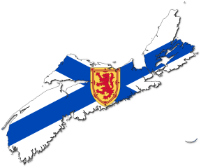
| actuel | 16 mai 2022 à 07:15 | | 615 × 513 (557 kio) | Fenn-O-maniC (d | contributions) | Replaced the generic coat of arms with one from File:Bratach Alba Nuaidh.svg to match the official design, see https://www.canada.ca/en/canadian-heritage/services/provincial-territorial-symbols-canada/nova-scotia.html#a5 |
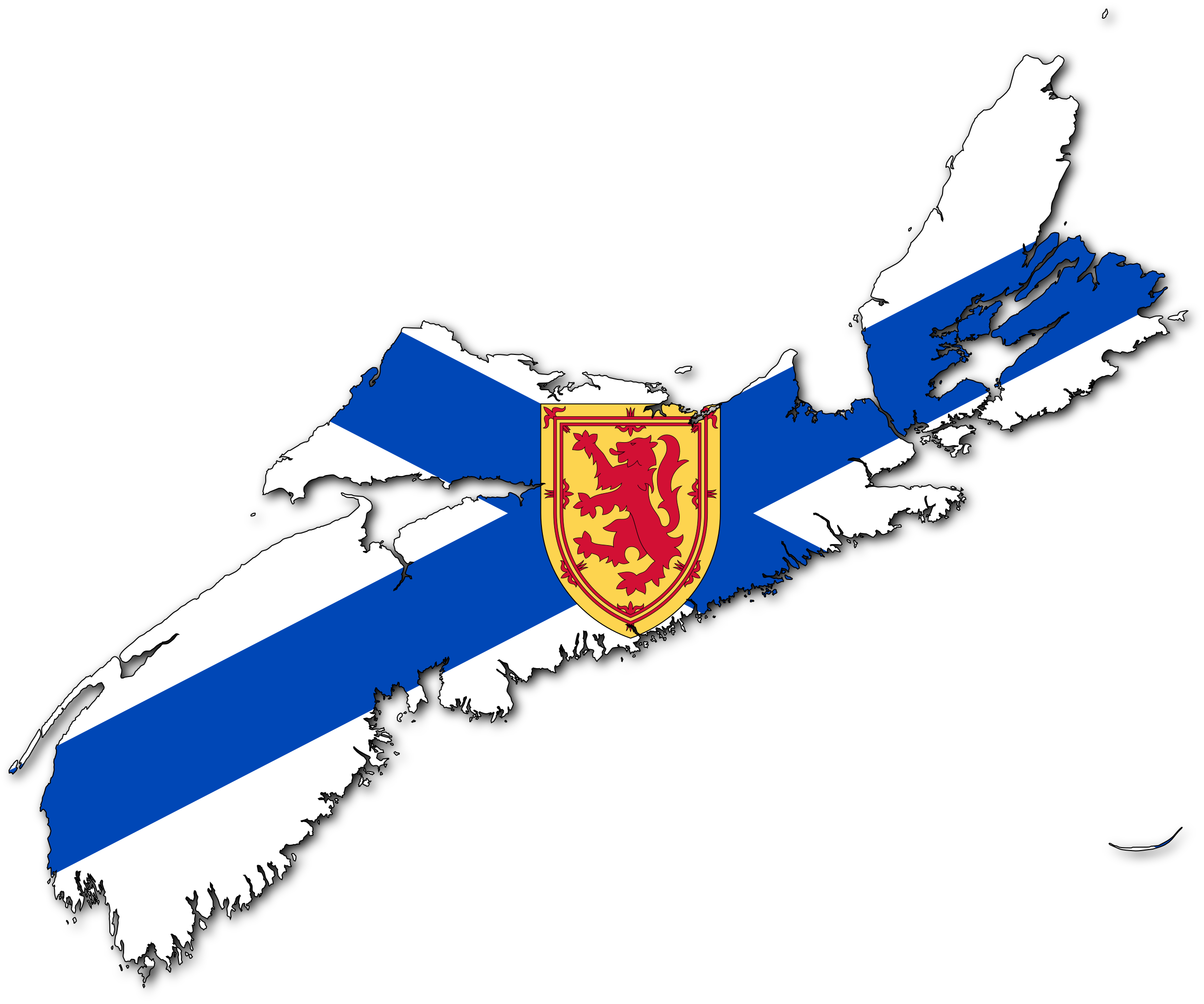
| 9 mai 2010 à 21:00 |  | 615 × 513 (564 kio) | Svgalbertian (d | contributions) | == {{int:filedesc}} == {{Information |Description={{en|Flag-map of Nova Scotia, Canada}} |Source=*File:Canada_Nova_Scotia_location_map.svg *File:Flag_of_Nova_Scotia.svg *File:Nova_Scotia_flag_map.png |Date=2010-05-09 20:59 (UTC) |
Vous ne pouvez pas remplacer ce fichier.
Utilisations locales du fichier
Les 5 pages suivantes utilisent ce fichier :
Utilisations du fichier sur d’autres wikis
Les autres wikis suivants utilisent ce fichier :
- Utilisation sur cy.wikipedia.org
- Utilisation sur en.wikipedia.org
- Talk:Canadian English
- Talk:French colonization of the Americas
- Talk:Mount Saint Vincent University
- Talk:Citadel Hill (Fort George)
- Talk:Nova Scotia
- Talk:Robert B. Dickey
- Talk:Anna Leonowens
- Talk:Peter MacKay
- Talk:Bobcat
- Talk:List of communities in Nova Scotia
- Talk:Halifax Explosion
- Talk:Colchester County
- Talk:Richmond County, Nova Scotia
- Talk:Cape Breton County
- Talk:Annapolis County, Nova Scotia
- Talk:Fortress of Louisbourg
- Talk:Swissair Flight 111
- Talk:Mi'kmaq
- Talk:Brian Mulroney
- Talk:Charles Tupper
- Talk:Appalachian Mountains
- Talk:New France
- Talk:Slavery in Canada
- Talk:War Plan Red
- Talk:List of post-confederation Nova Scotia general elections
- Talk:Ashley MacIsaac
- Talk:Algonquian languages
- Talk:Cape Breton Island
- Talk:Evangeline
- Talk:First Nations in Canada
- Talk:Cape Breton Regional Municipality
- Talk:The Maritimes
- Talk:Canada and the American Civil War
- Talk:Acadia
- Talk:Chester, Nova Scotia
- Talk:Acadian French
- Montagnais crater
- Talk:List of lieutenant governors of Nova Scotia
- Talk:Acadians
- Talk:Michèle Raymond
- Talk:Port Royal, Annapolis County, Nova Scotia
- Cobequid Bay
- Plymouth, Pictou County, Nova Scotia
- Talk:Music of the Maritimes
- Chéticamp River
- Talk:Sobeys
- Westport, Nova Scotia
Voir davantage sur l’utilisation globale de ce fichier.