File:Flag Map of The World (2022).png
Original file (4,974 × 2,519 pixels, file size: 851 KB, MIME type: image/png)
Captions
Captions
Summary
| Description |
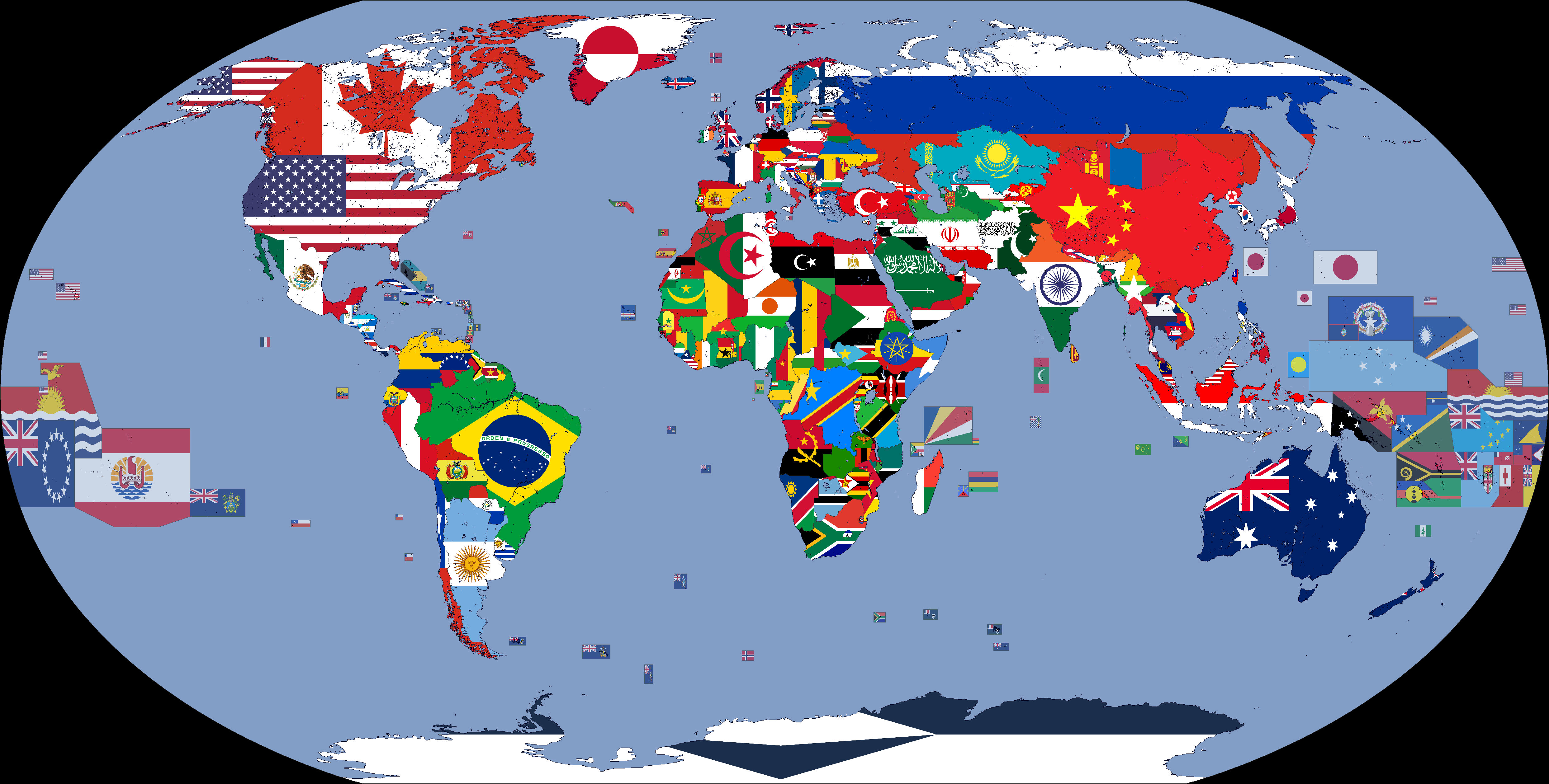
English: A map showing the flags of the world in 2022. |
| Date | |
| Source | Geography and Space |
| Author | Cookie030307 |
| Flag maps of the world for historical use | |
|
20th Century | |
|
1900 · 1908 · 1914 · 1930 · 1935 · 1937 · March 1938 · 1938 · WWII · 1908 · 1946 · 1962 · 1963 · 1965 · 1968 · 1970 · 1972 · 1974 · March 1985 · 1985 · 1986 · 1988 · 1989 · 1990 · 1991 · 1992 · 1993 · 1994 | |
|
21st Century | |
|
2000 · 2001 · 2002 · 2003 · 2005 · 2007 · 2008 · 2009 · 2010 · 2011 · 2012 · 2013 · 2015 · 2016 · 2017 · 2018 · 2019 · 2020 · 2021 · 2022 · 2023 · 2024 | |
|
Other Versions | |
|
Flag Map of the World · Flag Map of The World (DTI) · Flag Map of The World (DT&UCI) · Flag Map of The World (DTIN) · Flag Map of The World (DT&UCIN) | |
| (this template: • view • discuss ) | |
.png)
.png)
.png)
.png)
.png)
.png)
.png)
.png)
.png)
.png)
.png)
.png)
.png)
.png)
.png)
.png)
.png)
.png)
.png)
.png)
.png)
.png)
.png)
.png)
.png)
.png)
.png)
.png)
.png)
.png)
.png)
.png)
.png)
.png)
.png)
.png)
.png)
.png)
.png)
.png)
.png)
.png)
.png)
.png)
.png)
.png)
.png)
.png)
.png)
.png)
.png)
.png)
Licensing
- You are free:
- to share – to copy, distribute and transmit the work
- to remix – to adapt the work
- Under the following conditions:
- attribution – You must give appropriate credit, provide a link to the license, and indicate if changes were made. You may do so in any reasonable manner, but not in any way that suggests the licensor endorses you or your use.
- share alike – If you remix, transform, or build upon the material, you must distribute your contributions under the same or compatible license as the original.
File history
Click on a date/time to view the file as it appeared at that time.
.png&dir=prev)
.png&offset=20221110034948)
.png&offset=&limit=20)
.png&offset=&limit=50)
.png&offset=&limit=100)
.png&offset=&limit=250)
.png&offset=&limit=500)
| Date/Time | Thumbnail | Dimensions | User | Comment | |
|---|---|---|---|---|---|
| current | 01:18, 7 January 2024 | | 4,974 × 2,519 (851 KB) | Cookie030307 (talk | contribs) | Updated to match current flags. |
| 08:05, 17 July 2023 |  | 4,974 × 2,519 (850 KB) | Cookie030307 (talk | contribs) | Made some changes. | |
| 04:11, 2 January 2023 |  | 4,974 × 2,519 (854 KB) | Cookie030307 (talk | contribs) | Removed the Russian Recognized Border. | |
| 04:05, 2 January 2023 |  | 4,974 × 2,519 (854 KB) | Cookie030307 (talk | contribs) | Removed the disputed territories. | |
| 12:44, 31 December 2022 |  | 4,974 × 2,519 (856 KB) | Cookie030307 (talk | contribs) | Fixed some errors, Updated some maps. | |
| 23:47, 9 December 2022 |  | 4,974 × 2,519 (855 KB) | Tandreasen0421 (talk | contribs) | Reverted to version as of 10:26, 12 November 2022 (UTC) | |
| 16:39, 9 December 2022 |  | 4,974 × 2,519 (856 KB) | Salma3232 (talk | contribs) | Reverted to version as of 08:17, 18 June 2022 (UTC) | |
| 10:26, 12 November 2022 |  | 4,974 × 2,519 (855 KB) | Рагин1987 (talk | contribs) | Kherson | |
| 19:57, 10 November 2022 |  | 4,974 × 2,519 (855 KB) | Tandreasen0421 (talk | contribs) | I think this version is good because that's how the Russian invasion of Ukraine was first been added into this file. | |
| 03:49, 10 November 2022 |  | 4,974 × 2,519 (855 KB) | Tandreasen0421 (talk | contribs) | The Kharkiv region is almost completely de-occupied, carefully following the latest information. Reverted back to the original edit.. |
You cannot overwrite this file.
File usage on Commons
The following 2 pages use this file:
File usage on other wikis
The following other wikis use this file:
- Usage on zh.wikipedia.org
.png&oldid=839122575)