File:Flugplatz Hangelar1.jpg
Jump to navigation
Jump to search

Size of this preview: 800 × 535 pixels. Other resolutions: 320 × 214 pixels | 640 × 428 pixels | 1,024 × 685 pixels | 1,280 × 856 pixels | 2,560 × 1,712 pixels.
Original file (2,560 × 1,712 pixels, file size: 1.96 MB, MIME type: image/jpeg)
Captions
Captions
Add a one-line explanation of what this file represents
Summary[edit]
| Description |
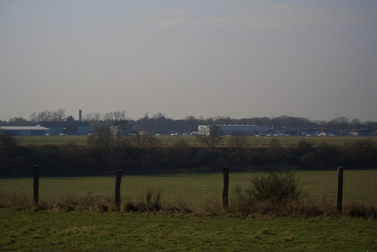
Deutsch: Foto des Flugplatzes Hangelar von Nordosten aufgenommen, im Vordergrund liegt die Missionarsgrube.
English: Photo of airfield Hangelar, Germany, in the foreground ist the former gravel pit Missionarsgrube. |
| Date | |
| Source | Own work |
| Author | Stefan Knauf |
| Camera location | | View this and other nearby images on: OpenStreetMap |
|---|
Licensing[edit]
| This work has been released into the public domain by its author, Stefan Knauf. This applies worldwide. In some countries this may not be legally possible; if so: |
File history
Click on a date/time to view the file as it appeared at that time.
| Date/Time | Thumbnail | Dimensions | User | Comment | |
|---|---|---|---|---|---|
| current | 15:29, 21 February 2007 | | 2,560 × 1,712 (1.96 MB) | Stefan Knauf (talk | contribs) | == Deutsch == Foto des Flugplatzes Hangelar von Nordosten aufgenommen, im Vordergrund liegt die Missionarsgrube; fotografiert von Stefan Knauf am 21.2.2007 == English == Photo of airfield Hangelar, in the foreground ist the former |
You cannot overwrite this file.
File usage on Commons
The following page uses this file:
File usage on other wikis
The following other wikis use this file:
- Usage on de.wikipedia.org