File:Fort 8 Hoboken 3.jpg
Jump to navigation
Jump to search

Size of this preview: 800 × 587 pixels. Other resolutions: 320 × 235 pixels | 640 × 470 pixels | 1,024 × 752 pixels | 1,280 × 940 pixels | 2,770 × 2,034 pixels.
Original file (2,770 × 2,034 pixels, file size: 1.48 MB, MIME type: image/jpeg)
Captions
Captions
Add a one-line explanation of what this file represents
Summary
[edit]
| Description |
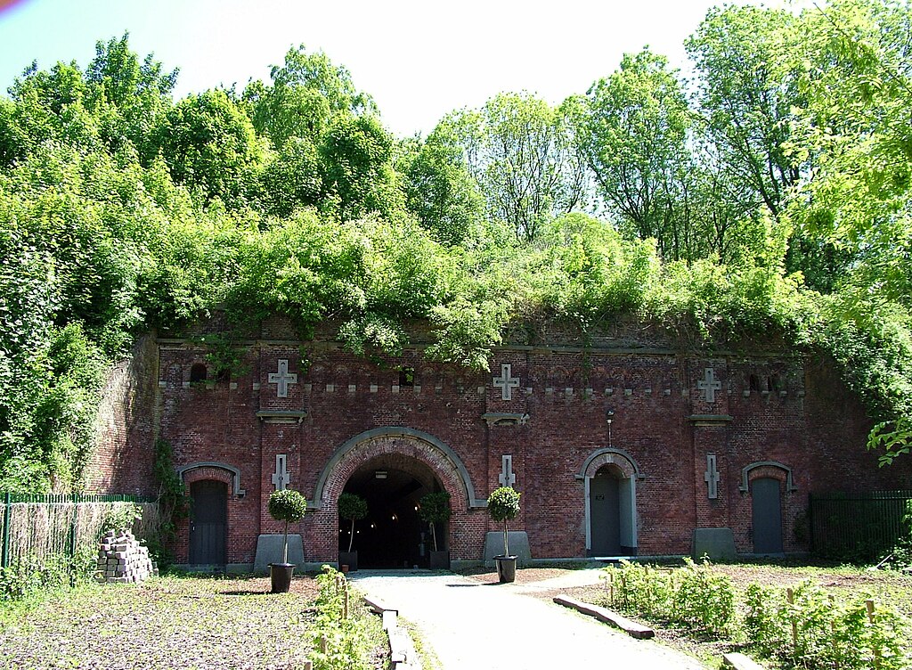
English: Fortress 8 of Hoboken is one of the Brialmont Fortresses around Antwerp. Picture taken from the inner fortress to the defensive walls.
Nederlands: Fort 8 Hoboken is een van de Brialmontforten rond Antwerpen. Foto vanuit het binnenfort op zijn verdedigingsmuur. |
| Date | |
| Source | Own work |
| Author | Annabel |
| Camera location | | View this and other nearby images on: OpenStreetMap |
|---|
Licensing
[edit]
I, the copyright holder of this work, hereby publish it under the following license:
This file is licensed under the Creative Commons Attribution-Share Alike 3.0 Unported license.
- You are free:
- to share – to copy, distribute and transmit the work
- to remix – to adapt the work
- Under the following conditions:
- attribution – You must give appropriate credit, provide a link to the license, and indicate if changes were made. You may do so in any reasonable manner, but not in any way that suggests the licensor endorses you or your use.
- share alike – If you remix, transform, or build upon the material, you must distribute your contributions under the same or compatible license as the original.
File history
Click on a date/time to view the file as it appeared at that time.
| Date/Time | Thumbnail | Dimensions | User | Comment | |
|---|---|---|---|---|---|
| current | 19:12, 24 May 2010 | | 2,770 × 2,034 (1.48 MB) | Annabel (talk | contribs) | {{Information |Description={{en|1=Fortress 8 of Hoboken is one of the Brialmont Fortresses around Antwerp. Picture taken from the inner fortress to the defensive walls.}} {{nl|1=Fort 8 Hoboken is een van de Brialmontforten rond Antwerpen. Foto vanuit het |
You cannot overwrite this file.
File usage on Commons
There are no pages that use this file.
File usage on other wikis
The following other wikis use this file:
- Usage on fr.wikipedia.org