File:Fort Dale map.jpg
Jump to navigation
Jump to search
Size of this preview: 800 × 562 pixels. Other resolutions: 320 × 225 pixels | 640 × 450 pixels | 1,066 × 749 pixels.
Original file (1,066 × 749 pixels, file size: 137 KB, MIME type: image/jpeg)
Captions
Captions
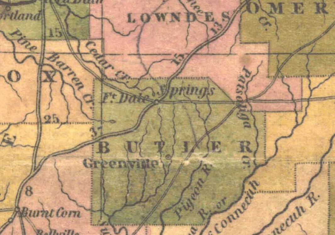
Fort Dale in 1830
Summary
[edit]
| Description |
English: Fort Dale in 1830 with surrounding stage routes |
| Date | |
| Source | https://digital.archives.alabama.gov/digital/collection/maps/id/66 |
| Author | Henry Schenck Tanner |
Licensing
[edit]
|
This work is in the public domain in its country of origin and other countries and areas where the copyright term is the author's life plus 70 years or fewer. This work is in the public domain in the United States because it was published (or registered with the U.S. Copyright Office) before January 1, 1929. | |
| This file has been identified as being free of known restrictions under copyright law, including all related and neighboring rights. | |
File history
Click on a date/time to view the file as it appeared at that time.
| Date/Time | Thumbnail | Dimensions | User | Comment | |
|---|---|---|---|---|---|
| current | 03:41, 11 October 2021 | | 1,066 × 749 (137 KB) | Dofftoubab (talk | contribs) | Uploaded a work by Henry Schenck Tanner from https://digital.archives.alabama.gov/digital/collection/maps/id/66 with UploadWizard |
You cannot overwrite this file.
File usage on Commons
There are no pages that use this file.
File usage on other wikis
The following other wikis use this file:
- Usage on en.wikipedia.org