File:Four corners.jpg
跳转到导航
跳转到搜索
本预览的尺寸:465 × 599像素。 其他分辨率:186 × 240像素 | 372 × 480像素 | 596 × 768像素 | 794 × 1,024像素 | 1,589 × 2,048像素 | 4,500 × 5,800像素。
原始文件 (4,500 × 5,800像素,文件大小:4.33 MB,MIME类型:image/jpeg)
说明
说明
添加一行文字以描述该文件所表现的内容
摘要
[编辑]
| 描述 |
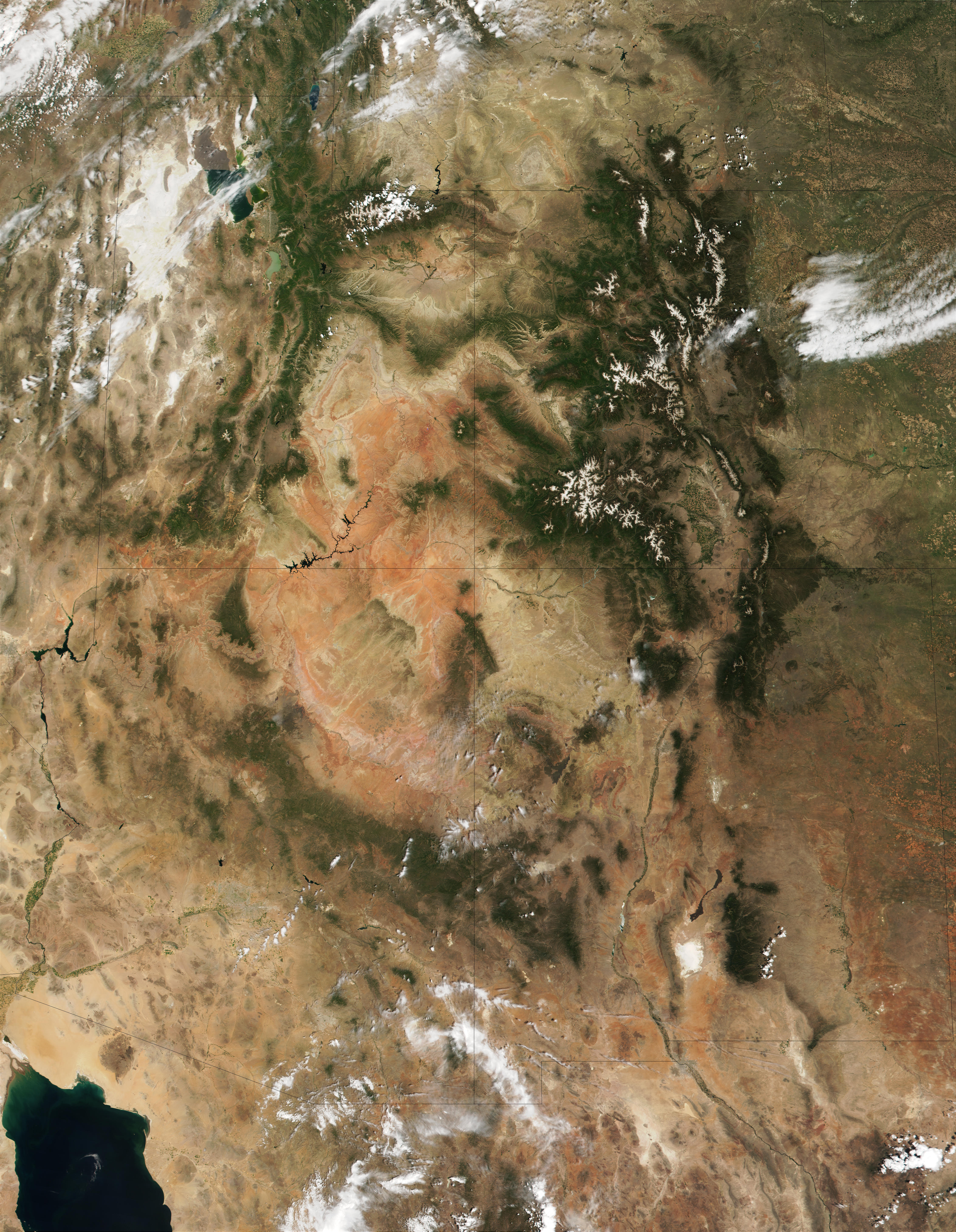
English: This MODIS true-color image is centered on the Four Corners region in the Southwest United States. Recognizable features include the forest-covered Rocky Mountains, which still have snow-covered peaks, running through Colorado and into New Mexico. To the west of Colorado is Utah, where the Great Salt Lake can be seen at the upper left. The Colorado Plateau, with its salmon-colored rocks, extends south from Utah into Arizona. The Grand Canyon of the Colorado River cuts westward through the mountains in northern Arizona. |
| 日期 | |
| 来源 | http://visibleearth.nasa.gov/view_rec.php?id=1980 |
| 作者 | Jacques Descloitres, MODIS Land Rapid Response Team (NASA) |
许可协议
[编辑]
| 本文件完全由NASA创作,在美国属于公有领域。根据NASA的版权方针,NASA的材料除非另有声明否则不受版权保护。(参见Template:PD-USGov/zh、NASA版权方针页面或JPL图片使用方针。) | ||
 |
警告:
|
文件历史
点击某个日期/时间查看对应时刻的文件。
| 日期/时间 | 缩略图 | 大小 | 用户 | 备注 | |
|---|---|---|---|---|---|
| 当前 | 2010年12月20日 (一) 11:53 | | 4,500 × 5,800(4.33 MB) | Orionist(留言 | 贡献) | high res from original source |
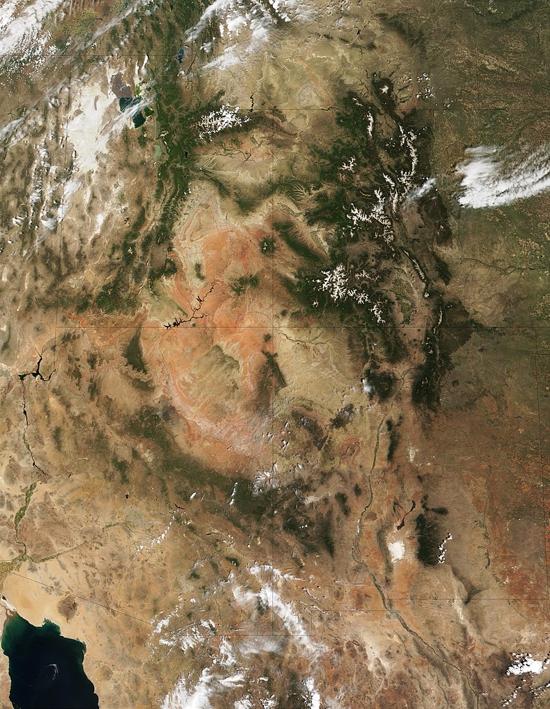
| 2005年2月23日 (三) 13:32 |  | 396 × 511(187 KB) | Complex01(留言 | 贡献) |
您不可以覆盖此文件。
文件用途
以下页面使用本文件:
全域文件用途
以下其他wiki使用此文件:
- ar.wikipedia.org上的用途
- az.wikipedia.org上的用途
- bg.wikipedia.org上的用途
- bn.wikipedia.org上的用途
- bs.wikipedia.org上的用途
- ckb.wikipedia.org上的用途
- en.wikipedia.org上的用途
- es.wikipedia.org上的用途
- et.wikipedia.org上的用途
- fa.wikipedia.org上的用途
- fi.wikipedia.org上的用途
- he.wikipedia.org上的用途
- hu.wikipedia.org上的用途
- it.wikipedia.org上的用途
- ja.wikipedia.org上的用途
- ka.wikipedia.org上的用途
- kk.wikipedia.org上的用途
- kn.wikipedia.org上的用途
- ko.wikipedia.org上的用途
- lfn.wikipedia.org上的用途
- lt.wikipedia.org上的用途
- mk.wikipedia.org上的用途
- ml.wikipedia.org上的用途
- nl.wikipedia.org上的用途
- pa.wikipedia.org上的用途
- pl.wikipedia.org上的用途
- pnb.wikipedia.org上的用途
- pt.wikipedia.org上的用途
- ru.wikipedia.org上的用途
- sd.wikipedia.org上的用途
- si.wikipedia.org上的用途
- sq.wikipedia.org上的用途
- ta.wikipedia.org上的用途
- vi.wikipedia.org上的用途
- zh.wikipedia.org上的用途