File:Fr mapy bno.jpg
Jump to navigation
Jump to search

Size of this preview: 640 × 599 pixels. Other resolutions: 256 × 240 pixels | 708 × 663 pixels.
Original file (708 × 663 pixels, file size: 227 KB, MIME type: image/jpeg)
Captions
Captions
Add a one-line explanation of what this file represents
Summary
[edit]
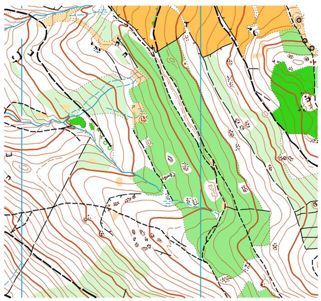
Fragment mapy do biegu na orientację. Żródło: Rysunek informacyjny o terenie zawodów.
Właściciel strony internetowej - pan Piotr Cych zgadza się na wykorzystanie grafiki na poniższej licencji. LeinaD talk 11:38, 24 August 2006 (UTC)
Licensing
[edit]
This file is licensed under the Creative Commons Attribution-Share Alike 2.5 Generic license.
- You are free:
- to share – to copy, distribute and transmit the work
- to remix – to adapt the work
- Under the following conditions:
- attribution – You must give appropriate credit, provide a link to the license, and indicate if changes were made. You may do so in any reasonable manner, but not in any way that suggests the licensor endorses you or your use.
- share alike – If you remix, transform, or build upon the material, you must distribute your contributions under the same or compatible license as the original.
File history
Click on a date/time to view the file as it appeared at that time.
| Date/Time | Thumbnail | Dimensions | User | Comment | |
|---|---|---|---|---|---|
| current | 12:16, 4 June 2006 | | 708 × 663 (227 KB) | Leinad (talk | contribs) | Fragment mapy do biegu na orientację. |
You cannot overwrite this file.
File usage on Commons
There are no pages that use this file.
File usage on other wikis
The following other wikis use this file:
- Usage on cs.wikipedia.org
- Usage on es.wikipedia.org
- Usage on et.wikipedia.org
- Usage on fr.wikipedia.org
- Usage on ht.wikipedia.org
- Usage on hu.wikipedia.org
- Usage on it.wikipedia.org
- Usage on ja.wikipedia.org
- Usage on pl.wikipedia.org