File:France DOM map blank.svg
Jump to navigation
Jump to search

Size of this PNG preview of this SVG file: 800 × 406 pixels. Other resolutions: 320 × 162 pixels | 640 × 325 pixels | 1,024 × 520 pixels | 1,280 × 650 pixels | 2,560 × 1,299 pixels | 940 × 477 pixels.
Original file (SVG file, nominally 940 × 477 pixels, file size: 1.61 MB)
Captions
Captions
Add a one-line explanation of what this file represents
| Description |
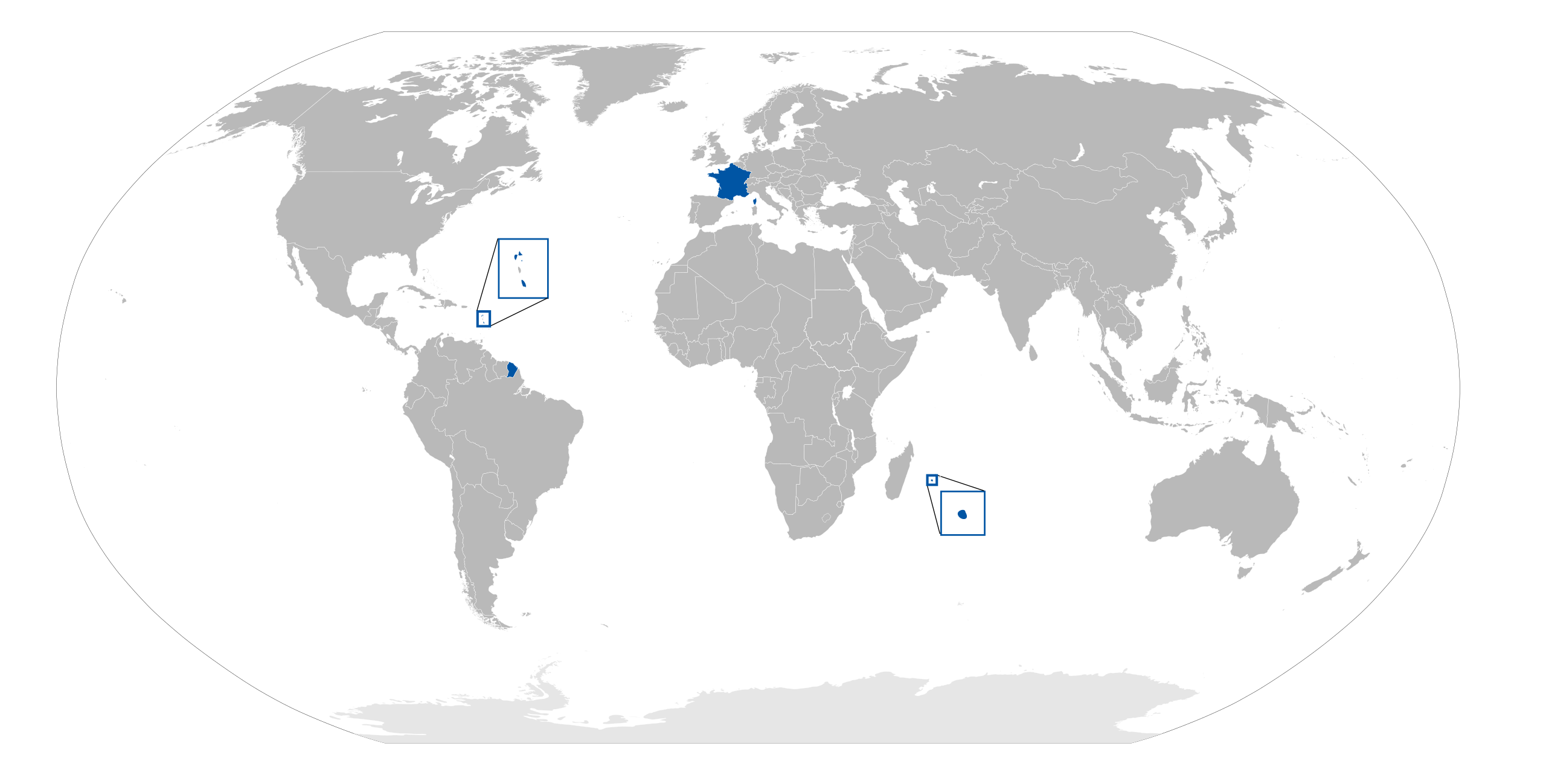
English: Blank map of the French Overseas departments |
||
| Date | |||
| Source | File:BlankMap-World6.svg | ||
| Author | Carport | ||
| Permission (Reusing this file) |
|
||
| Other versions |
|
File history
Click on a date/time to view the file as it appeared at that time.
| Date/Time | Thumbnail | Dimensions | User | Comment | |
|---|---|---|---|---|---|
| current | 12:38, 18 August 2020 | | 940 × 477 (1.61 MB) | Hogweard (talk | contribs) | South Sudan border |
| 13:11, 24 January 2010 |  | 940 × 477 (1.61 MB) | Carport (talk | contribs) | {{Information |Description={{en|Blank map of the French {{w|Overseas department}}s}} |Source=File:BlankMap-World6.svg |Date=24 January 2010 |Author=Carport |Permission={{pd-self}} |other_versions=* File:France DOM map-fr.png - F |
You cannot overwrite this file.
File usage on Commons
There are no pages that use this file.