File:France all regions.svg
Salta a la navegació
Salta a la cerca

Mida d'aquesta previsualització PNG del fitxer SVG: 386 × 296 píxels. Altres resolucions: 313 × 240 píxels | 626 × 480 píxels | 1.002 × 768 píxels | 1.280 × 982 píxels | 2.560 × 1.963 píxels.
Fitxer original (fitxer SVG, nominalment 386 × 296 píxels, mida del fitxer: 152 Ko)
Llegendes
Llegendes
Afegeix una explicació d'una línia del que representa aquest fitxer
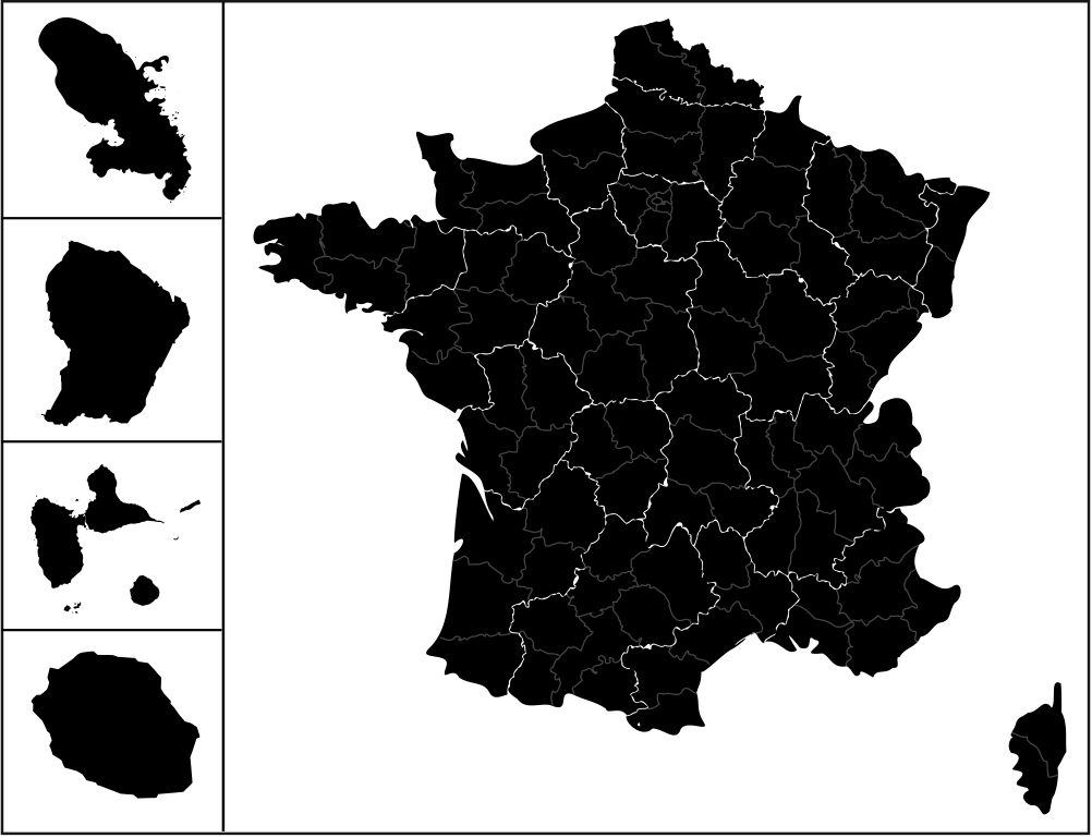
| Descripció | carte des regions de france avec l'outre-mers |
| Data | (UTC) |
| Font | |
| Autor |
|
| Això és una imatge retocada, cosa que vol dir que ha estat alterada digitalment de la seva versió original. Modificacions: {{{1}}}. L'original es pot veure a: Communes-guyane-blank.svg:
|
Aquest fitxer està subjecte a la llicència de Creative Commons Reconeixement i Compartir Igual 3.0 No adaptada.
- Sou lliure de:
- compartir – copiar, distribuir i comunicar públicament l'obra
- adaptar – fer-ne obres derivades
- Amb les condicions següents:
- reconeixement – Heu de donar la informació adequada sobre l'autor, proporcionar un enllaç a la llicència i indicar si s'han realitzat canvis. Podeu fer-ho amb qualsevol mitjà raonable, però de cap manera no suggereixi que l'autor us dóna suport o aprova l'ús que en feu.
- compartir igual – Si modifiqueu, transformeu, o generareu amb el material, haureu de distribuir les vostres contribucions sota una llicència similar o una de compatible com l'original
Registre original de càrregues
[modifica]
This image is a derivative work of the following images:
- File:France_location_map-Regions_and_departements.svg licensed with Cc-by-sa-3.0,2.5,2.0,1.0, GFDL
- 2009-02-02T16:12:50Z Yug 2000x1922 (772026 Bytes) Restore light style version ; a specific file name will be use for polygon departement maps.
- 2009-02-01T19:34:09Z Yug 2000x1922 (1849428 Bytes) restore East and southern border deleted by mistake + code improving.
- 2009-02-01T14:41:40Z Yug 2000x1922 (1852045 Bytes) Statistic friendly added, as an upper layer.
- 2008-11-07T13:23:10Z Sting 2000x1922 (772026 Bytes) + boundary for Channel Islands
- 2008-08-23T16:29:48Z Sting 2000x1922 (769918 Bytes) Larger strokes for boundaries
- 2008-07-25T17:35:54Z Sting 2000x1922 (770878 Bytes) Display bug
- 2008-07-25T17:28:38Z Sting 2000x1922 (772649 Bytes) Variable scale
- 2008-07-25T14:29:27Z Sting 2000x1922 (773101 Bytes) - border
- 2008-07-25T14:23:11Z Sting 2000x1922 (773214 Bytes) Other countries' color
- 2008-07-04T20:32:47Z Sting 2000x1922 (772973 Bytes) == Summary == {{Location|46|15|00|N|02|06|00|E|scale:10000000}} {{Information |Description={{en|Blank administrative map of [[:en:France|France]] for geo-location purpose, with regions and departements distinguished.Approxim
- File:Réunion_communes.svg licensed with Cc-by-sa-2.5,2.0,1.0, GFDL
- 2007-03-10T18:48:13Z Kimdime69 699x610 (491125 Bytes) {{Information |Description=Communes de l'île de la Réunion (France) |Source=Own creation based on[[:Image:Réunion-communes.png]] |Date=2007 |Author=[[User:Kimdime69]] |Permission= |other_versions= }} [[Category:Maps of Ré
- 2007-03-10T18:47:14Z Kimdime69 699x610 (491125 Bytes) {{Information |Description=Communes de l'île de la Réunion (France) |Source=Own creation based on[[:Image:Réunion-communes.png]] |Date=2007 |Author=[[User:Kimdime69]] |Permission= |other_versions= }} [[Category:Maps of Ré
- File:Guadeloupe_department_location_map.svg licensed with Cc-by-sa-3.0, GFDL
- 2008-09-22T20:00:26Z Sting 1015x890 (221742 Bytes) == Summary == {{Location|16|10|30|N|61|24|00|W|scale:500000}} {{Information |Description={{en|Blank administrative map of the region and department of [[:en:Guadeloupe|Guadeloupe]], France, for geo-location purpose, with arr
- File:Martinique_department_location_map.svg licensed with Cc-by-sa-3.0, GFDL
- 2008-08-16T20:46:56Z Sting 961x1112 (134399 Bytes) == Summary == {{Location|14|39|00|N|61|00|45|W|scale:500000}} {{Information |Description={{en|Blank administrative map of the region and department of [[:en:Martinique|Martinique]], France, for geo-location purpose, with arr
- File:Communes-guyane-blank.svg licensed with Cc-by-sa-2.5,2.0,1.0, GFDL
- 2007-04-04T21:56:28Z Kimdime69 587x729 (119711 Bytes) {{Information |Description=Communes of the french region and departement of Guyane |Source=own creation based on [http://www.cries-guyane.fr/upload/actus_42e7c4ec8679d.pdf] |Date=2007 |Author={{u|Kimdime69}} |Permission= |oth
Uploaded with derivativeFX
Historial del fitxer
Cliqueu una data/hora per veure el fitxer tal com era aleshores.
| Data/hora | Miniatura | Dimensions | Usuari/a | Comentari | |
|---|---|---|---|---|---|
| actual | 12:56, 25 abr 2009 | | 386 × 296 (152 Ko) | 3dsman (discussió | contribucions) | {{Information |Description=carte des regions de france avec l'outre-mers |Source=*File:France_location_map-Regions_and_departements.svg *File:Réunion_communes.svg *File:Guadeloupe_department_location_map.svg *[[:File:Martinique_departme |
No podeu sobreescriure aquest fitxer.
Ús del fitxer
No hi ha pàgines que utilitzin aquest fitxer.