File:GCC map.png
Jump to navigation
Jump to search
Size of this preview: 800 × 350 pixels. Other resolutions: 320 × 140 pixels | 640 × 280 pixels | 1,432 × 627 pixels.
Original file (1,432 × 627 pixels, file size: 50 KB, MIME type: image/png)
Captions
Captions
Add a one-line explanation of what this file represents
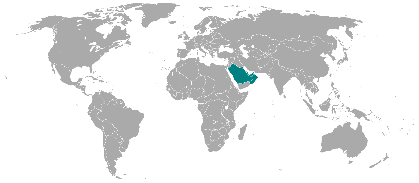
| Description | GCC map |
| Source | Made by en:Deepak gupta |
| Author | |
| Other versions | Derivative works of this file: Gulfrugby.png |
| |
This work has been released into the public domain by its author, Deepak gupta, at the English Wikipedia project. This applies worldwide. In case this is not legally possible: |
File history
Click on a date/time to view the file as it appeared at that time.
| Date/Time | Thumbnail | Dimensions | User | Comment | |
|---|---|---|---|---|---|
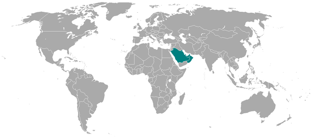
| current | 22:39, 26 April 2014 | | 1,432 × 627 (50 KB) | Grachifan (talk | contribs) | update |
| 17:47, 24 June 2009 |  | 1,357 × 628 (45 KB) | IJA (talk | contribs) | Added Malta, Montenegro, Kosovo, Singapore, Gaza Strip, Isle of Man, Channel Islands and fixed the boarder between Croatia and BiH. | |
| 18:07, 2 November 2006 |  | 1,357 × 628 (21 KB) | Menasim (talk | contribs) | Category:World membership maps |
You cannot overwrite this file.
File usage on Commons
The following 2 pages use this file:
File usage on other wikis
The following other wikis use this file:
- Usage on ar.wikipedia.org
- Usage on en.wikipedia.org
- Usage on eo.wikipedia.org
- Usage on ja.wikipedia.org
- Usage on lij.wikipedia.org
- Usage on lt.wikipedia.org
- Usage on simple.wikipedia.org
- Usage on vi.wikipedia.org