File:Galmaströnd.jpg
Jump to navigation
Jump to search

Size of this preview: 800 × 443 pixels. Other resolutions: 320 × 177 pixels | 640 × 354 pixels | 1,024 × 567 pixels | 1,280 × 709 pixels | 3,433 × 1,901 pixels.
Original file (3,433 × 1,901 pixels, file size: 3.32 MB, MIME type: image/jpeg)
Captions
Captions
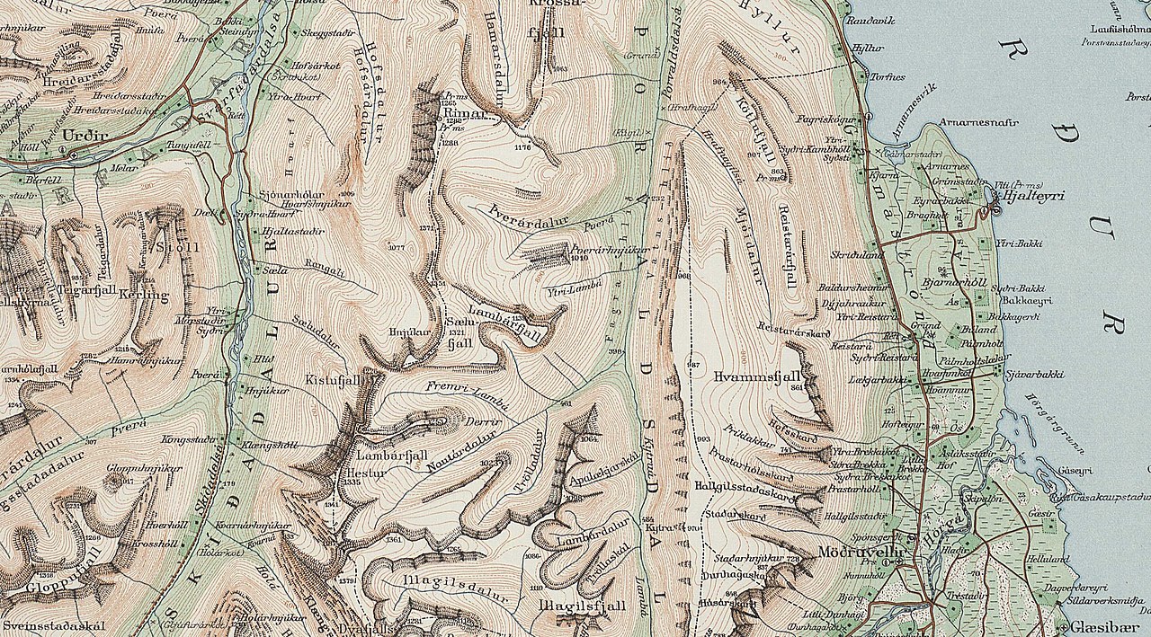
Galmaströnd
Summary
[edit]
| Description |
English: Galmaströnd |
| Date | |
| Source | https://myndir.islandskort.is/map/Uppdrattur_Islands___1_1_________1921_1944_38/62__Eyjafjordur_774/1039/2012-10-16-13-01-26.jpg |
| Author | Geodentic Institute, Copenhagen % Reykjavík, - copyright for individuals in Denmark last 70 years, for organisations 50 years. The date the map was published can be seen from the bottom right corner as 1933. It has therefore been expired for almost 40 years. if that is not enough then it is exceeding the ordinary to upload a lame photo on to the website |
Licensing
[edit]

|
The contents of this file is, in either full extent or partially, based on open public geographic data from the Danish Geodata Agency:
|
copyright expired
File history
Click on a date/time to view the file as it appeared at that time.
| Date/Time | Thumbnail | Dimensions | User | Comment | |
|---|---|---|---|---|---|
| current | 09:14, 29 March 2021 | | 3,433 × 1,901 (3.32 MB) | Xypete (talk | contribs) | Uploaded a work by Geodentic Institute, Copenhagen % Reykjavík, - copyright for individuals in Denmark last 70 years, for organisations 50 years. The date the map was published can be seen from the bottom right corner as 1933. It has therefore been expired for almost 40 years. if that is not enough then it is exceeding the ordinary to upload a lame photo on to the website from https://myndir.islandskort.is/map/Uppdrattur_Islands___1_1_________1921_1944_38/62__Eyjafjordur_774/1039/2012-10-16-1... |
You cannot overwrite this file.
File usage on Commons
There are no pages that use this file.
File usage on other wikis
The following other wikis use this file:
- Usage on is.wikipedia.org