File:Ganganagar district map.jpg
Jump to navigation
Jump to search

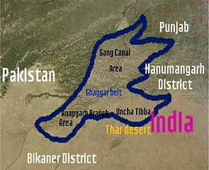
Size of this preview: 737 × 600 pixels. Other resolutions: 295 × 240 pixels | 590 × 480 pixels | 944 × 768 pixels | 1,024 × 833 pixels.
Original file (1,024 × 833 pixels, file size: 175 KB, MIME type: image/jpeg)
Captions
Captions
Add a one-line explanation of what this file represents
Summary[edit]
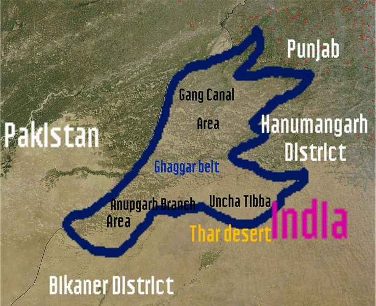
| Description | I (wikiuser:Shemaroo aka Shivender Singh)have uploaded this photo and created by Nasa and this photo is in Public domain.In this photo you can see satellite image of Ganganagar district.Email:Sivendersingh@gmail.comShemaroo (talk) 07:25, 27 February 2012 (UTC) |
| Source | |
| Author | See below |


Licensing[edit]
| This file is in the public domain in the United States because it was solely created by NASA. NASA copyright policy states that "NASA material is not protected by copyright unless noted". (See Template:PD-USGov, NASA copyright policy page or JPL Image Use Policy.) | ||
 |
Warnings:
|
Original upload log[edit]
The original description page was here. All following user names refer to en.wikipedia.
| Date/Time | Dimensions | User | Comment |
|---|---|---|---|
| 2012-02-27 07:25:31 | 1024× 833× | Shemaroo | I (wikiuser:Shemaroo aka Shivender Singh)have uploaded this photo and created by Nasa and this photo is in Public domain.In this photo you can see map of Ganganagar district.~~~~ |
File history
Click on a date/time to view the file as it appeared at that time.
| Date/Time | Thumbnail | Dimensions | User | Comment | |
|---|---|---|---|---|---|
| current | 20:23, 5 November 2016 | | 1,024 × 833 (175 KB) | Zppix (talk | contribs) | Transferred from en.wikipedia (MTC!) |
You cannot overwrite this file.
File usage on Commons
There are no pages that use this file.
File usage on other wikis
The following other wikis use this file:
- Usage on en.wikipedia.org
- Usage on zh.wikipedia.org