File:Gemarkung Linden der Stadt Bochum.jpg
Jump to navigation
Jump to search
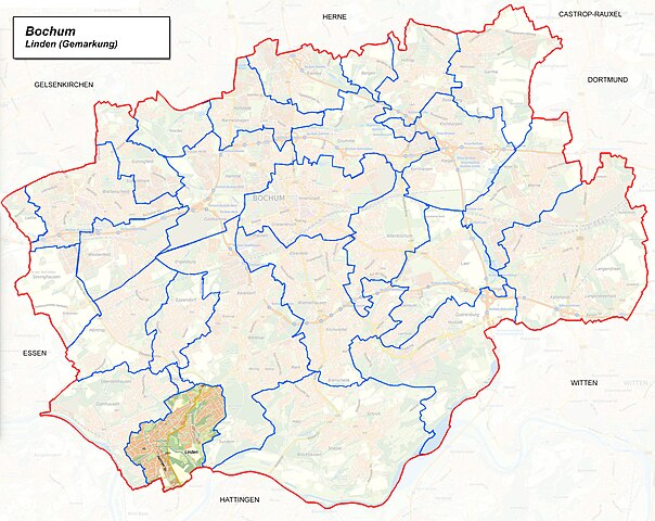
Size of this preview: 754 × 600 pixels. Other resolutions: 302 × 240 pixels | 604 × 480 pixels | 966 × 768 pixels | 1,280 × 1,018 pixels | 2,490 × 1,980 pixels.
Original file (2,490 × 1,980 pixels, file size: 1.36 MB, MIME type: image/jpeg)
Captions
Captions
Add a one-line explanation of what this file represents
Summary[edit]
Summary[edit]
| Description |
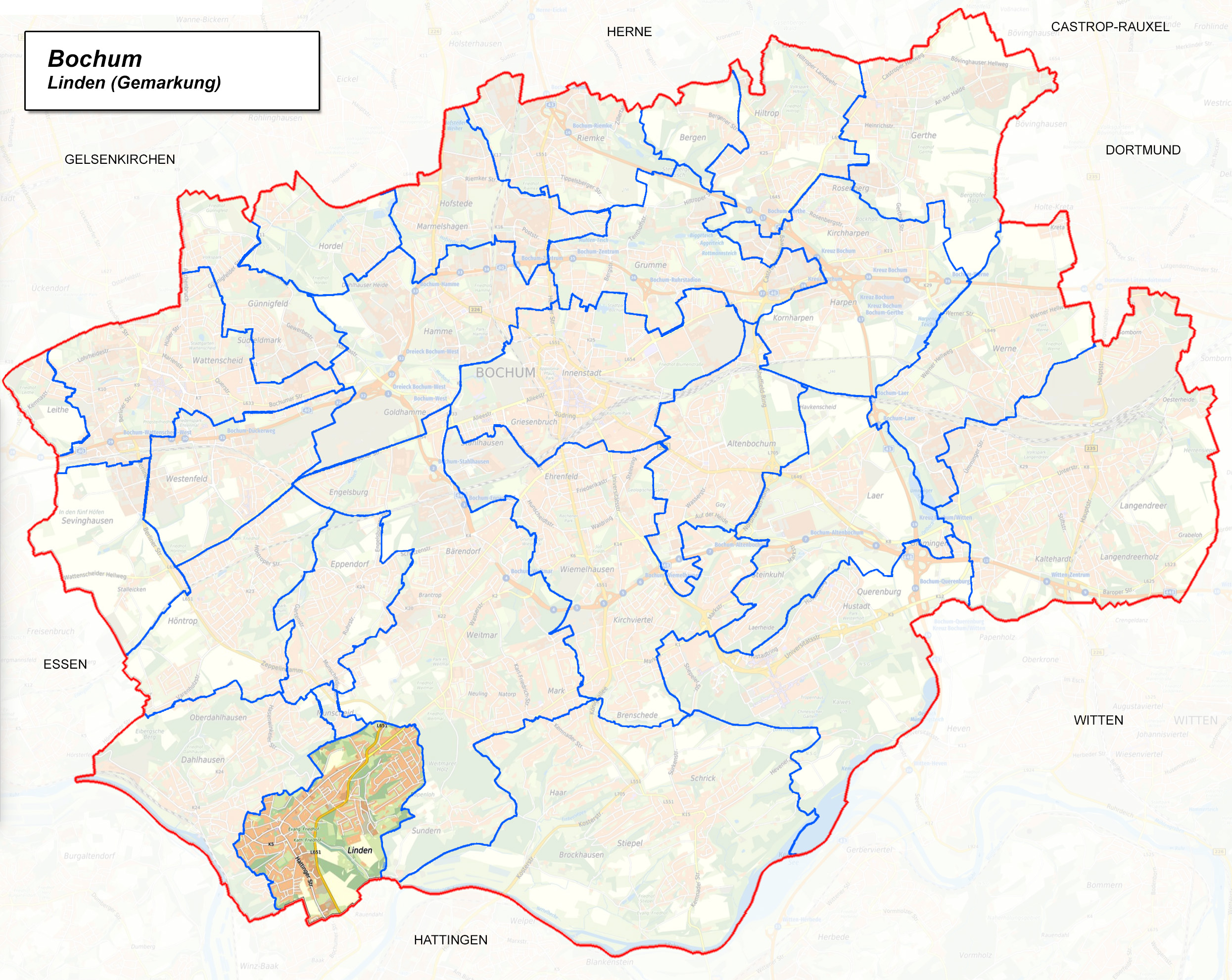
Deutsch: Karte von Bochum mit einer Hervorhebung der Gemarkung Linden |
| Date | |
| Source | Geoportal der Stadt Bochum |
| Author | Heinrich Kämpchen. Einzeichnung der Gemarkungsgrenzen, auf der Grundlage des Stadtplanwerk Ruhrgebiet 2.0 © Regionalverband Ruhr und Kooperationspartner (Datenlizenz Deutschland - Namensnennung - Version 2.0), Datengrundlagen: ALKIS, ATKIS - Land NRW/Katasterämter (Datenlizenz Deutschland - Zero - Version 2.0) und © OpenStreetMap - Mitwirkende (License: Open Database License) | Datenlizenz Deutschland – Zero – Version 2.0 |
| Permission (Reusing this file) |
dl-de/by-2-0 Datenlizenz Deutschland - Namensnennung – Version 2.0 |
Licensing[edit]

|
This file is licensed under the terms of the Data licence Germany – attribution – version 2.0 |
|
You are free:
Under the following conditions:
|
File history
Click on a date/time to view the file as it appeared at that time.
| Date/Time | Thumbnail | Dimensions | User | Comment | |
|---|---|---|---|---|---|
| current | 22:50, 9 October 2023 | | 2,490 × 1,980 (1.36 MB) | Heinrich Kämpchen (talk | contribs) | == {{int:filedesc}} == =={{int:filedesc}}== {{Information |description={{de|1=Karte von Bochum mit einer Hervorhebung der Gemarkung Linden}} |date=2023-10-09 |source=[https://geoportal.bochum.de/mapapps/resources/apps/geobasisdaten/index.html?lang=en Geoportal der Stadt Bochum] |author=Heinrich Kämpchen. Einzeichnung der Gemarkungsgrenzen, auf der Grundlage des Stadtplanwerk Ruhrgebiet 2.0 © Regionalverband Ruhr und Kooperationspartner (Datenlizenz Deutschland - Namensnennung - Version 2.0),... |
You cannot overwrite this file.
File usage on Commons
There are no pages that use this file.
File usage on other wikis
The following other wikis use this file:
- Usage on de.wikipedia.org