File:General Map of Metropolis Bridge - Ralph Modjeski 1919.png
Jump to navigation
Jump to search
Size of this preview: 800 × 553 pixels. Other resolutions: 320 × 221 pixels | 640 × 442 pixels | 1,049 × 725 pixels.
Original file (1,049 × 725 pixels, file size: 130 KB, MIME type: image/png)
Captions
Captions
Add a one-line explanation of what this file represents
Summary
[edit]
| Description |
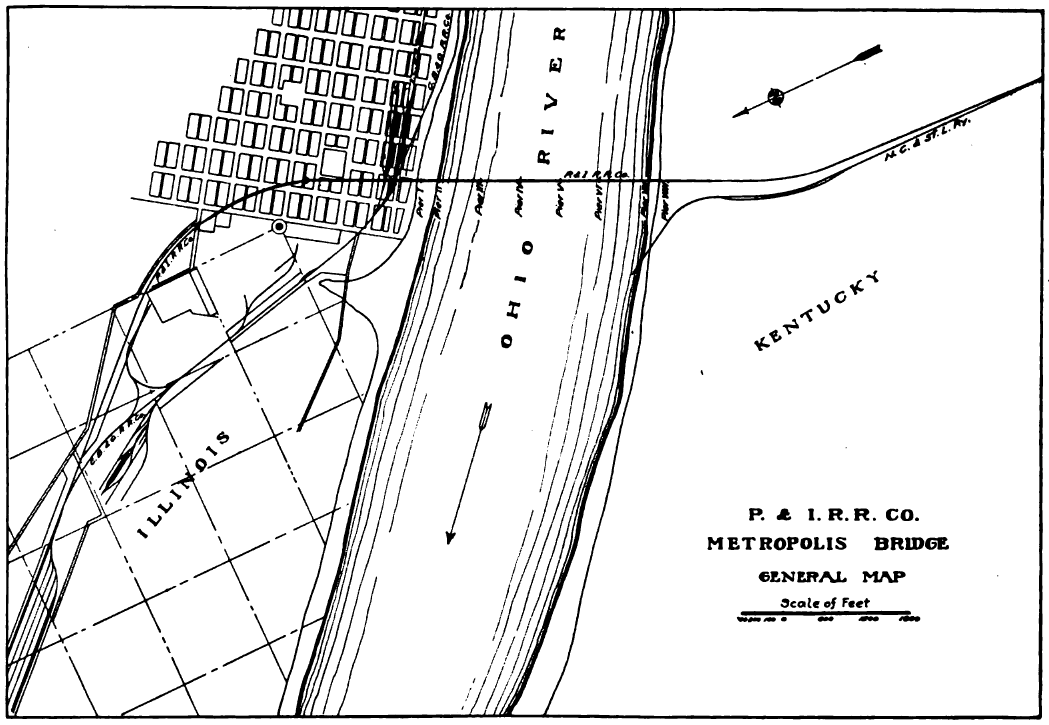
English: P.&I.R.R., General Map of Metropolis Bridge |
| Date | |
| Source | Ralph Modjeski: The Metropolis Bridge Over the Ohio River at Metropolis, Ill. In: Journal of the Western Society of Engineers. Vol. 24, Nr. 2, 1919, S. 59–82 (Fig. 1, S. 60). |
| Author | Ralph Modjeski |
Licensing
[edit]
This work is in the public domain in the United States because it was published (or registered with the U.S. Copyright Office) before January 1, 1929.
Public domain works must be out of copyright in both the United States and in the source country of the work in order to be hosted on the Commons. If the work is not a U.S. work, the file must have an additional copyright tag indicating the copyright status in the source country.
Note: This tag should not be used for sound recordings. |
File history
Click on a date/time to view the file as it appeared at that time.
| Date/Time | Thumbnail | Dimensions | User | Comment | |
|---|---|---|---|---|---|
| current | 04:06, 12 June 2018 | | 1,049 × 725 (130 KB) | Krib (talk | contribs) | User created page with UploadWizard |
You cannot overwrite this file.
File usage on Commons
There are no pages that use this file.